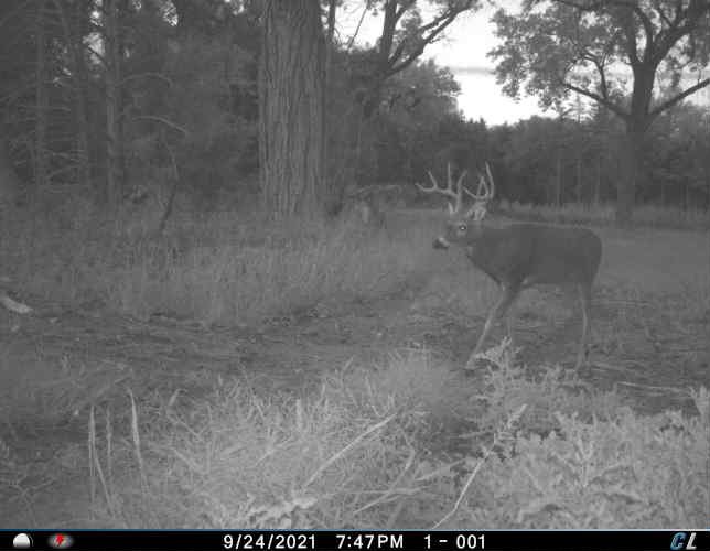
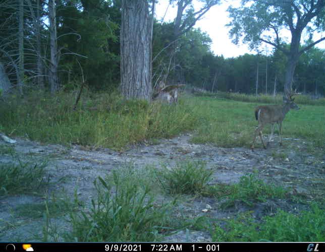
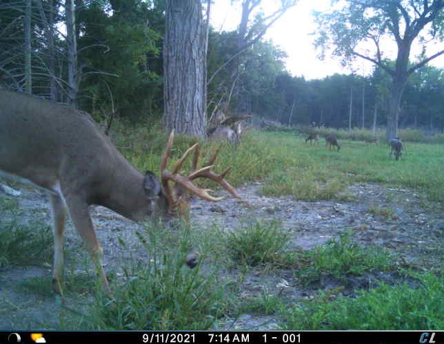
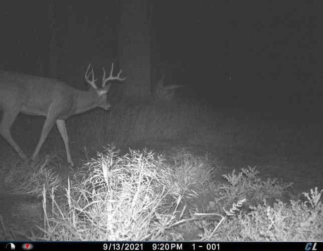
Property Highlights
Located between Maxwell and Brady, NE off of Ft McPherson Road
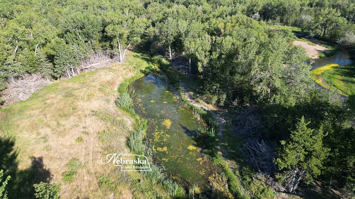
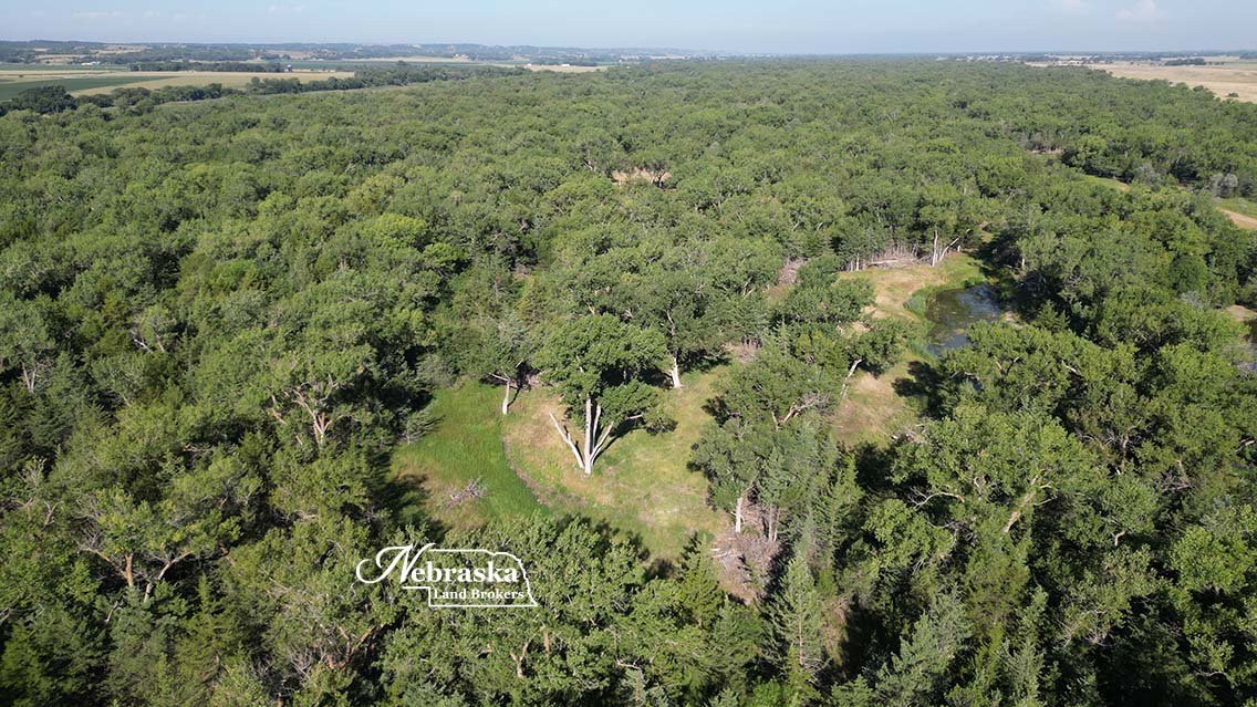
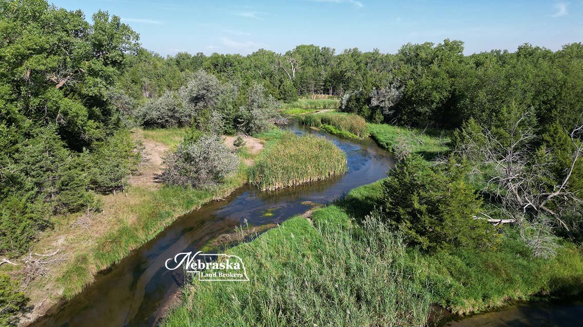
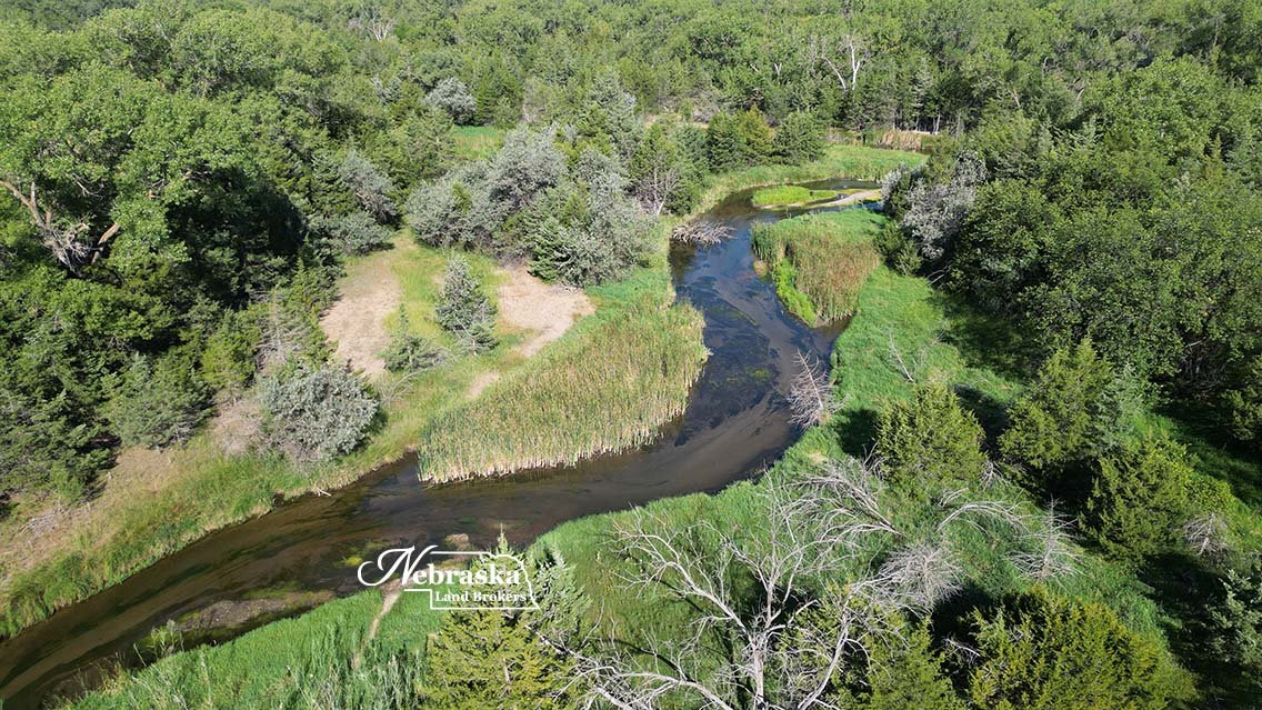
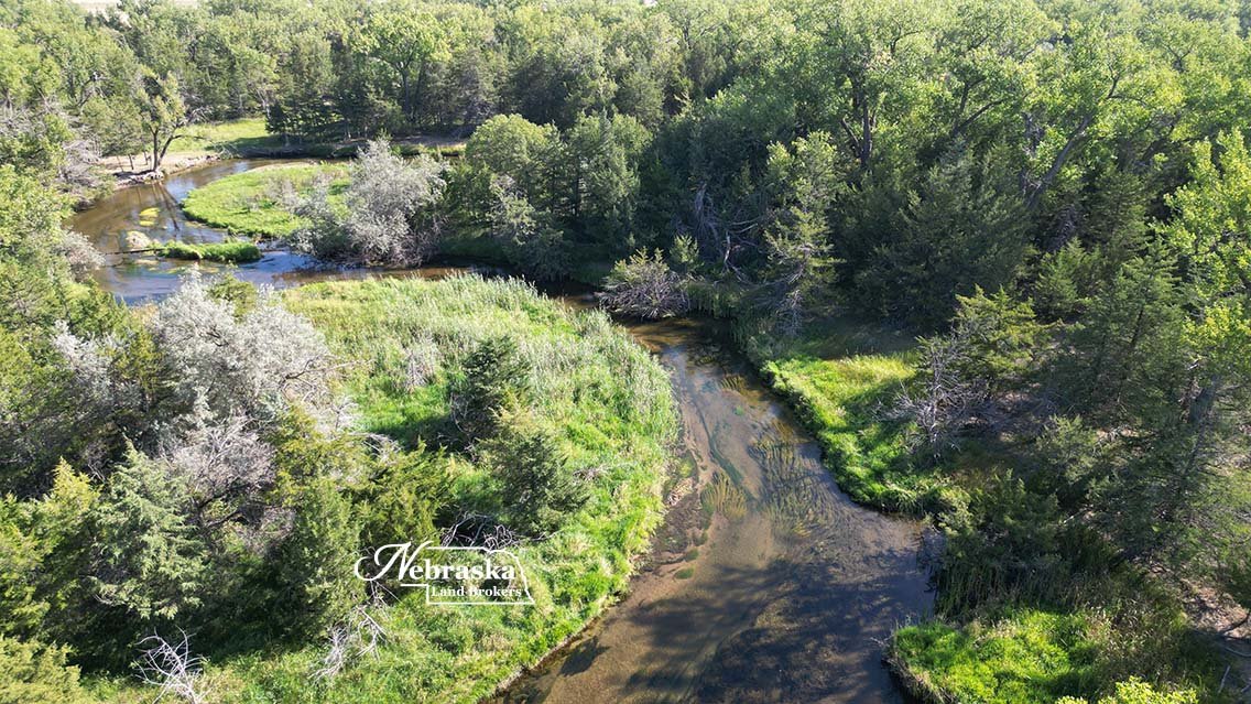
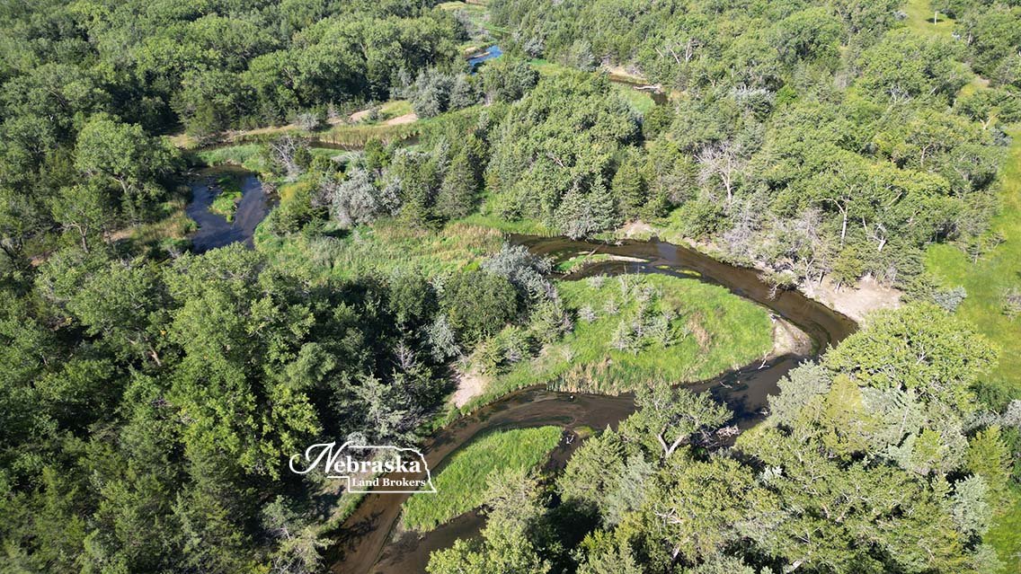
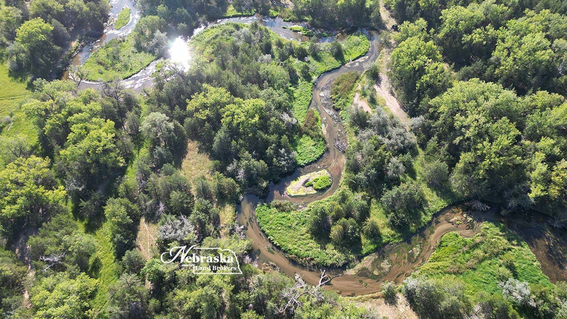
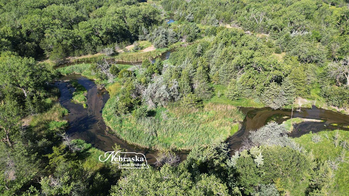
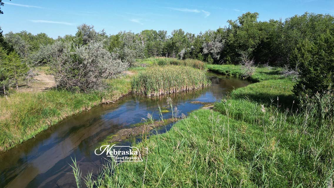
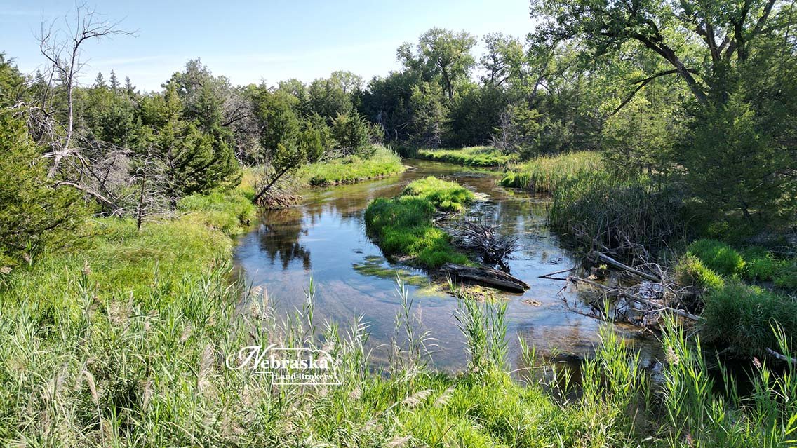
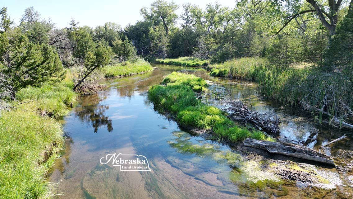
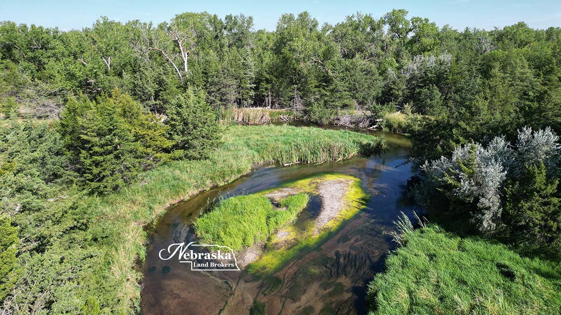
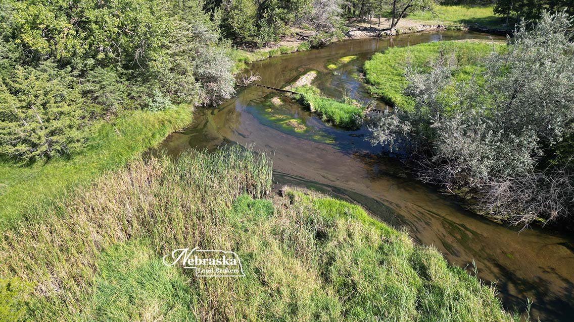
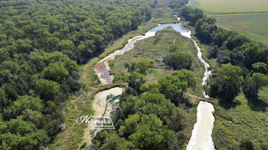
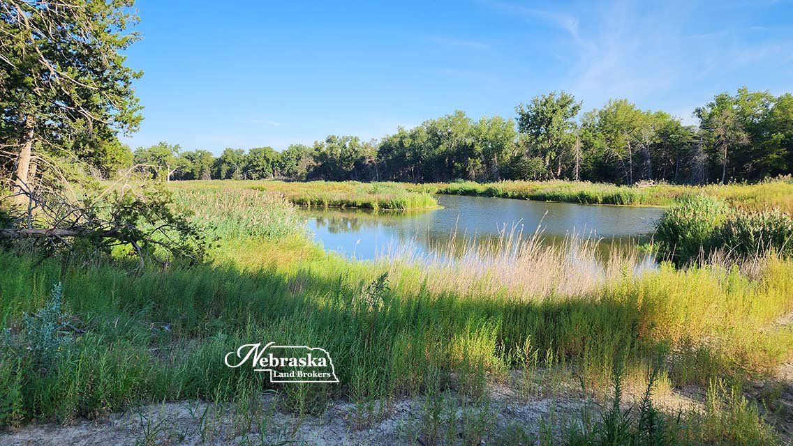
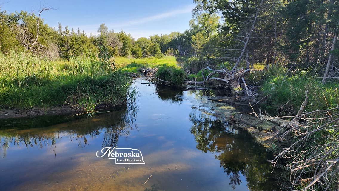
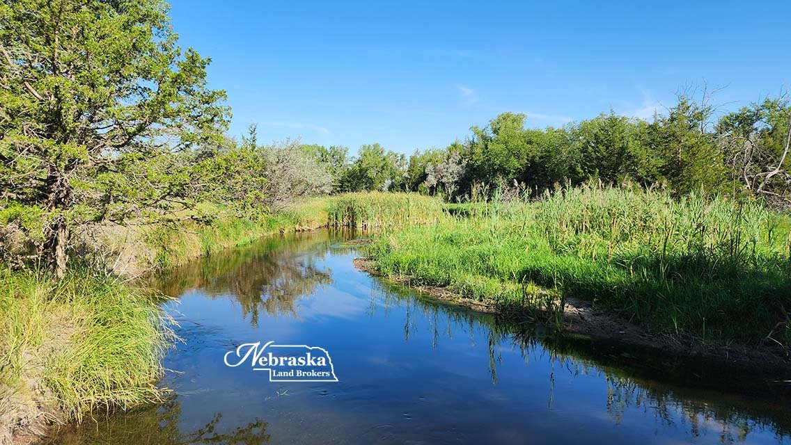
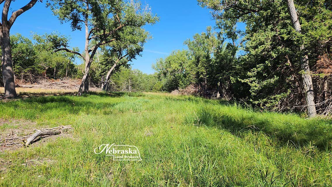
Platte River South Channel wildlife habitat
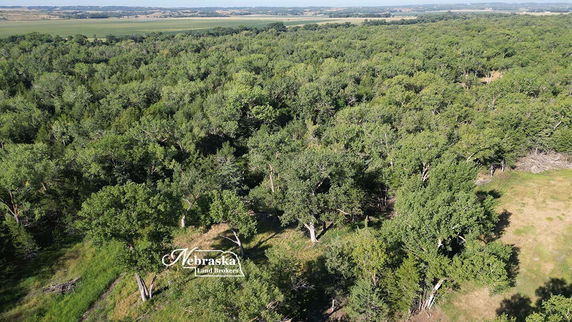
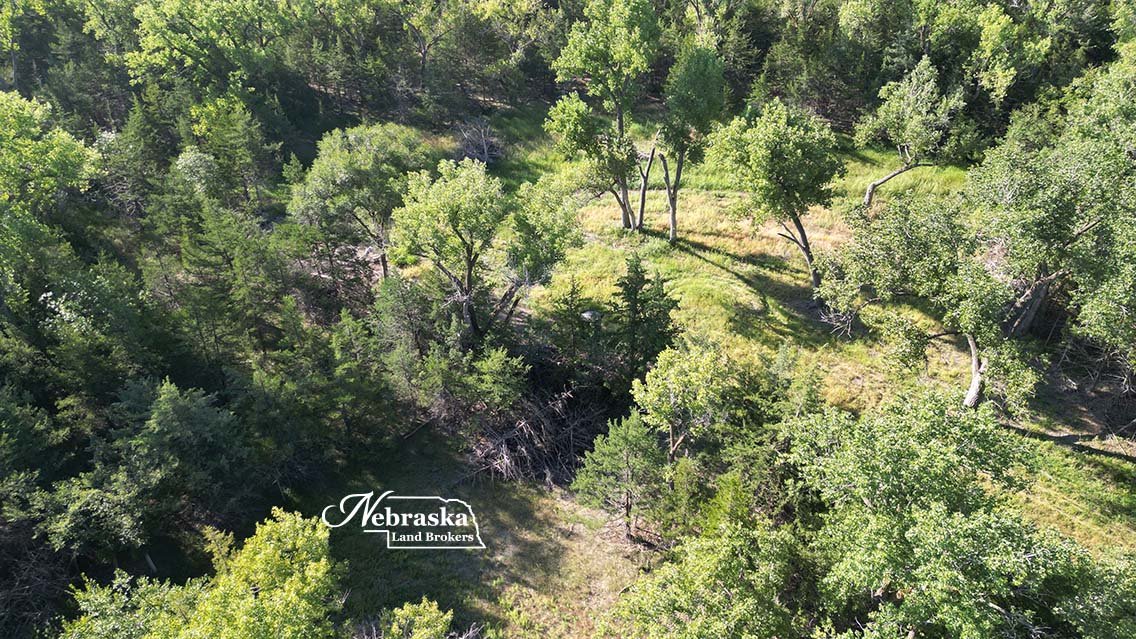
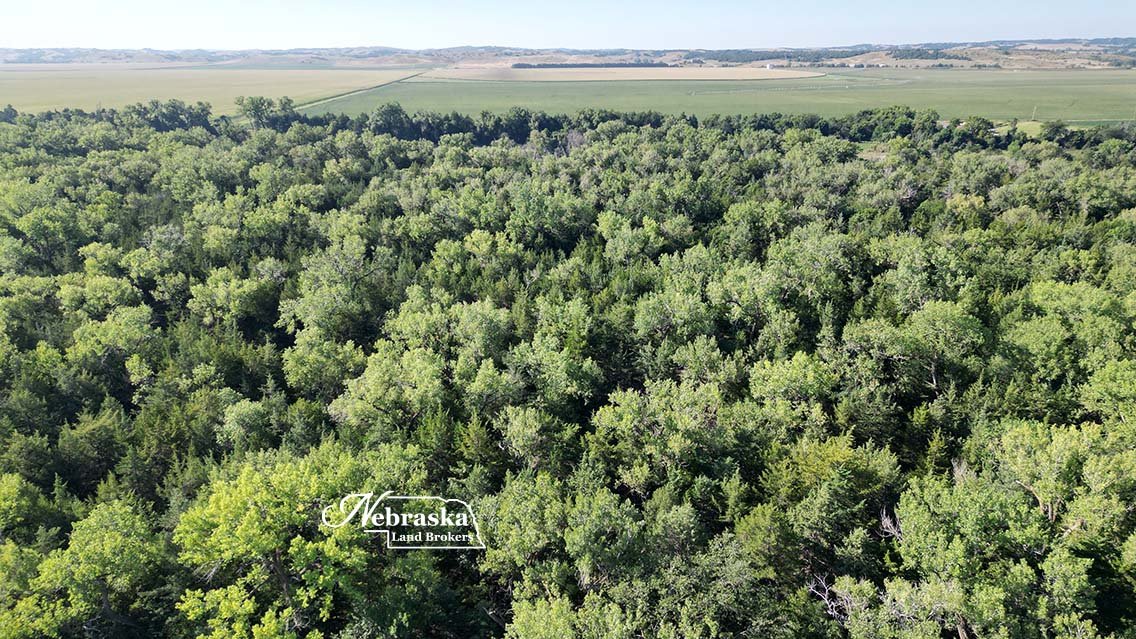
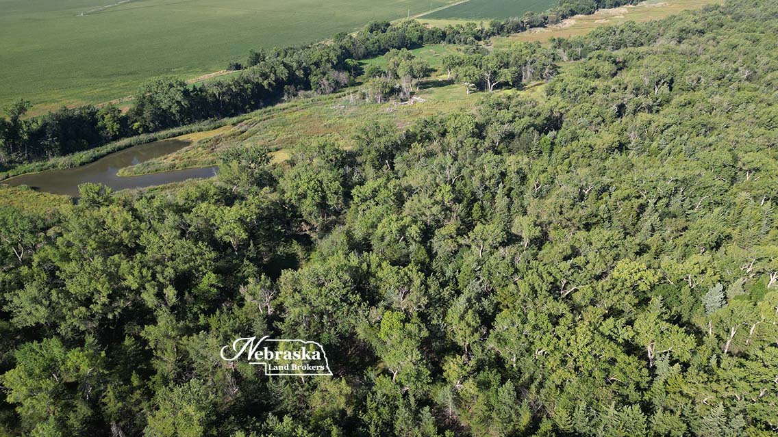
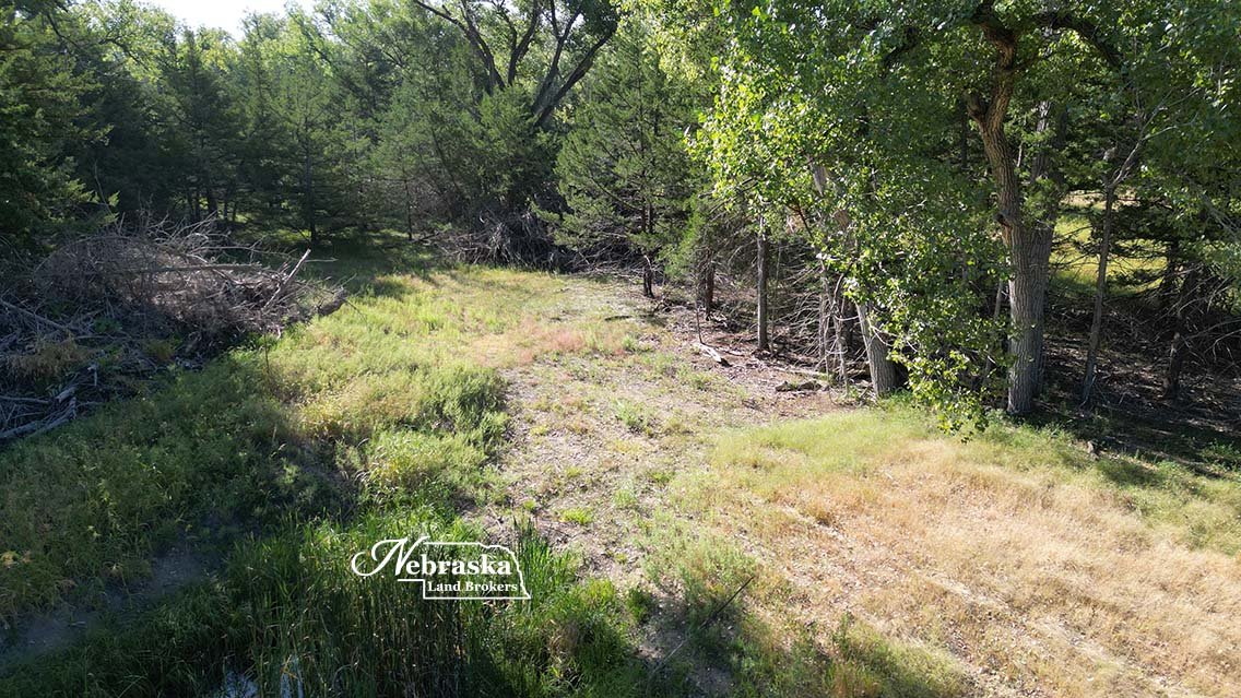
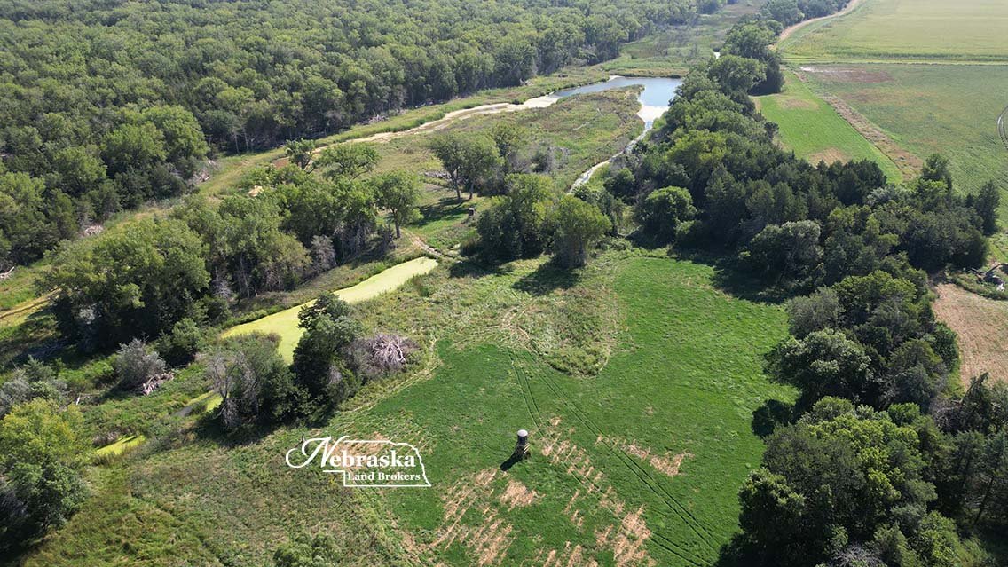
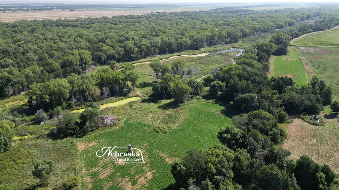
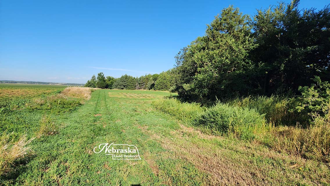
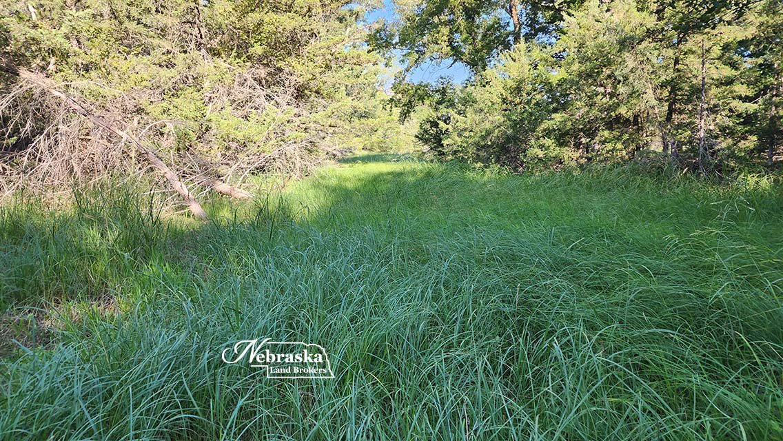
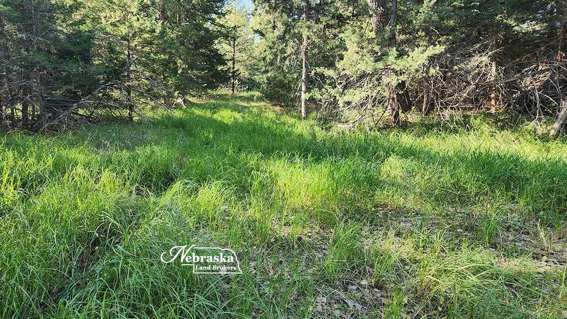
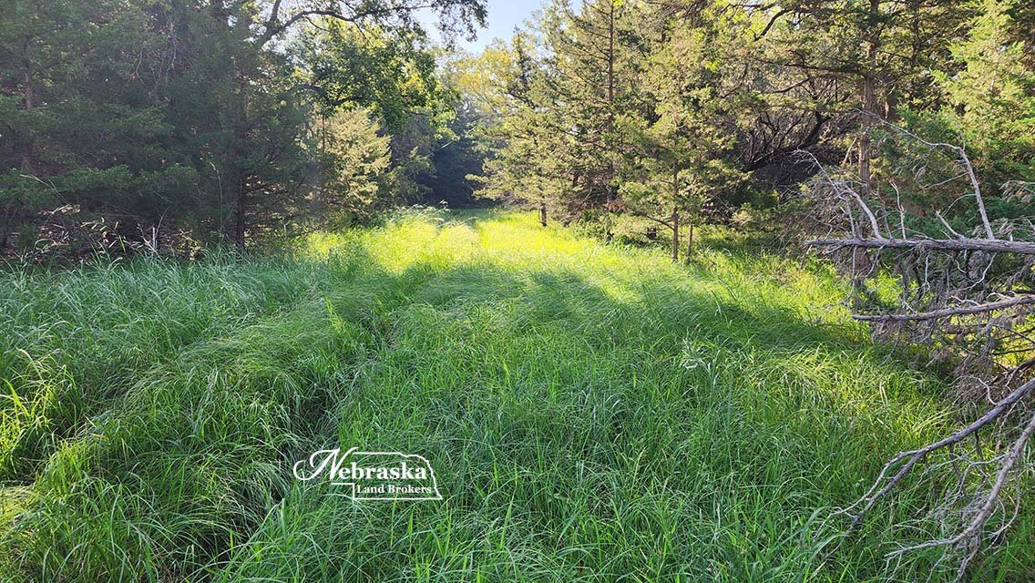
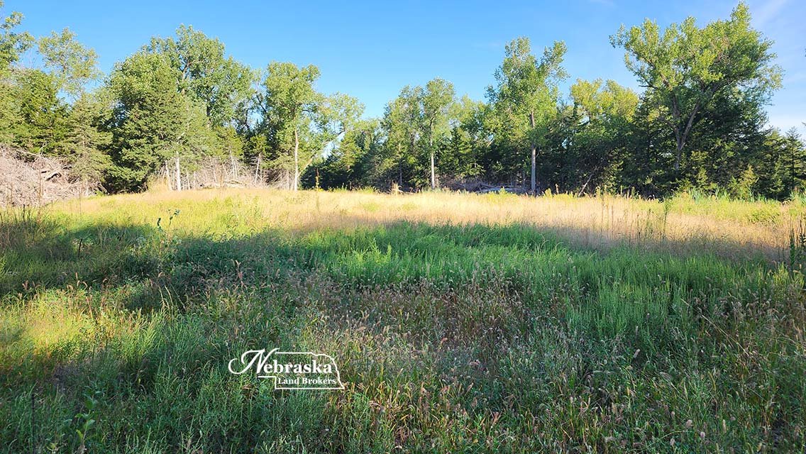
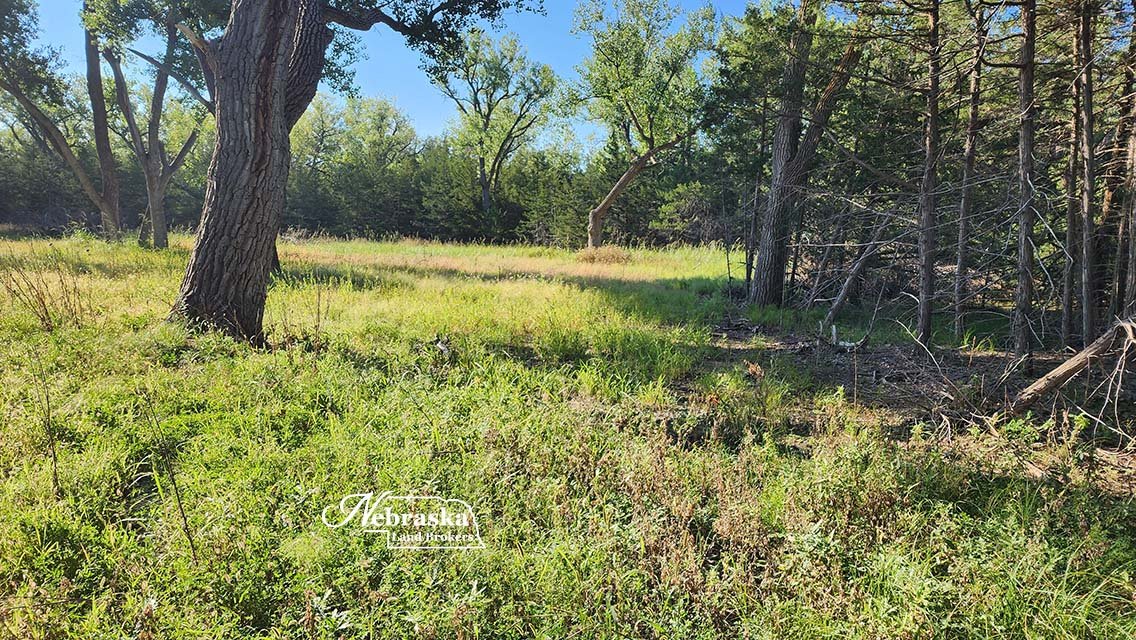
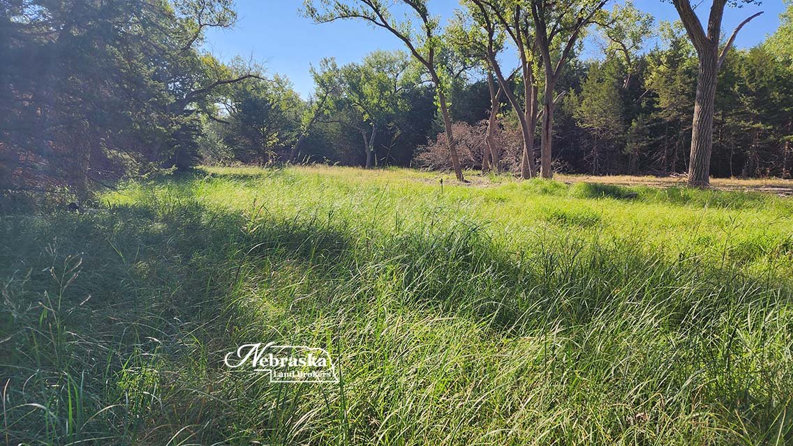
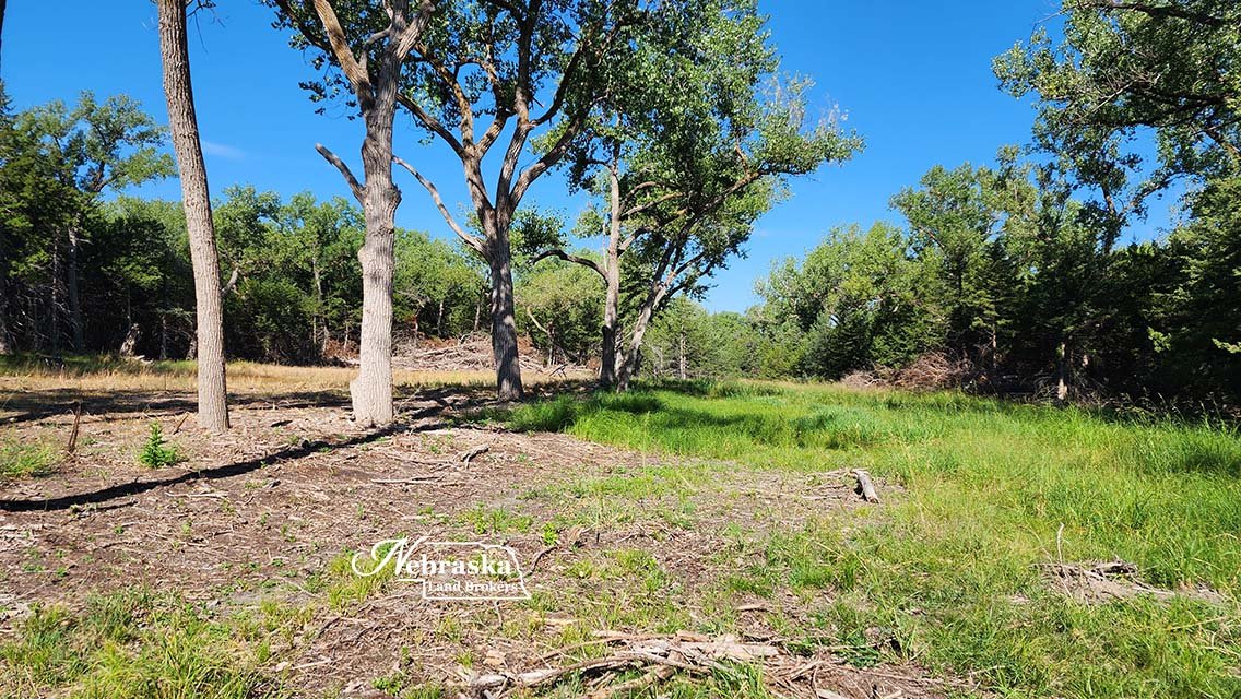
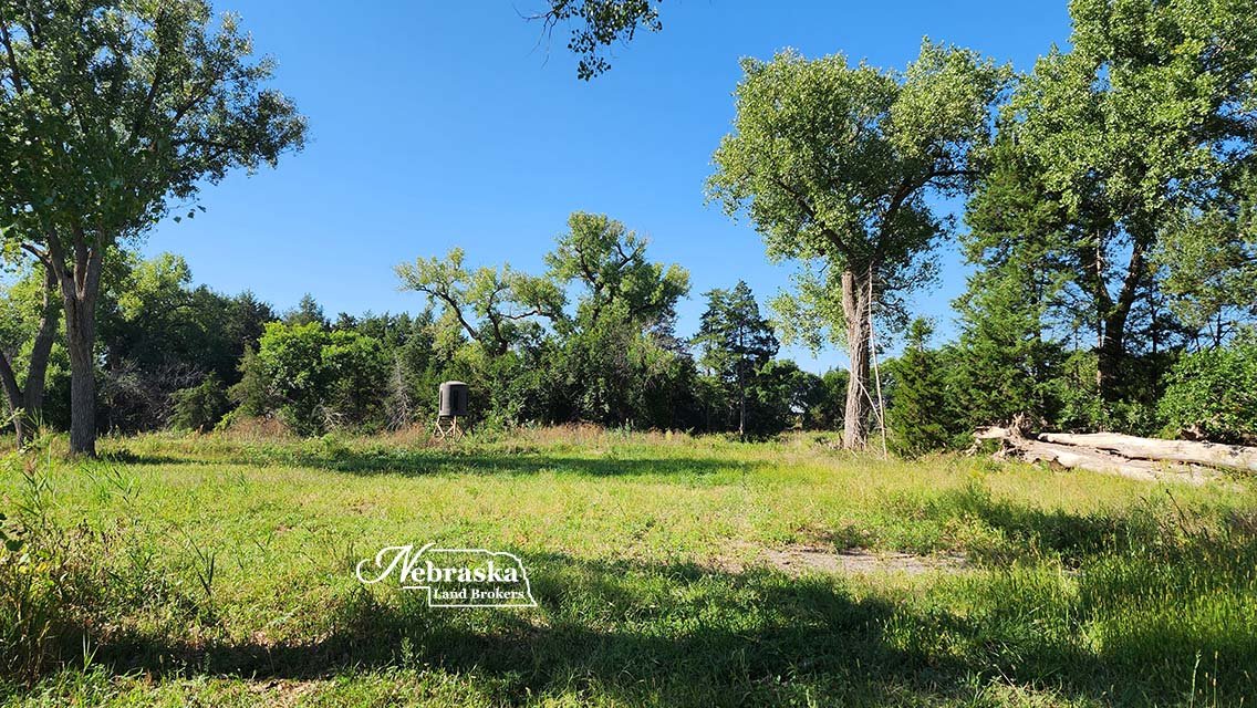
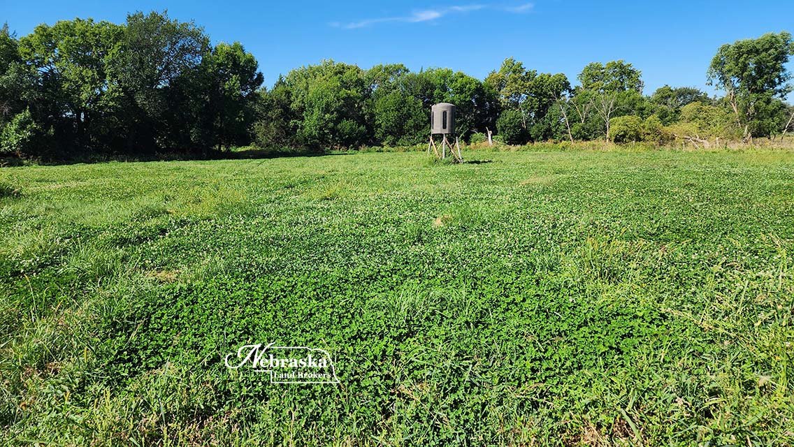
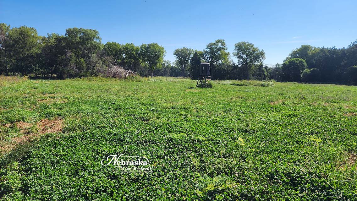
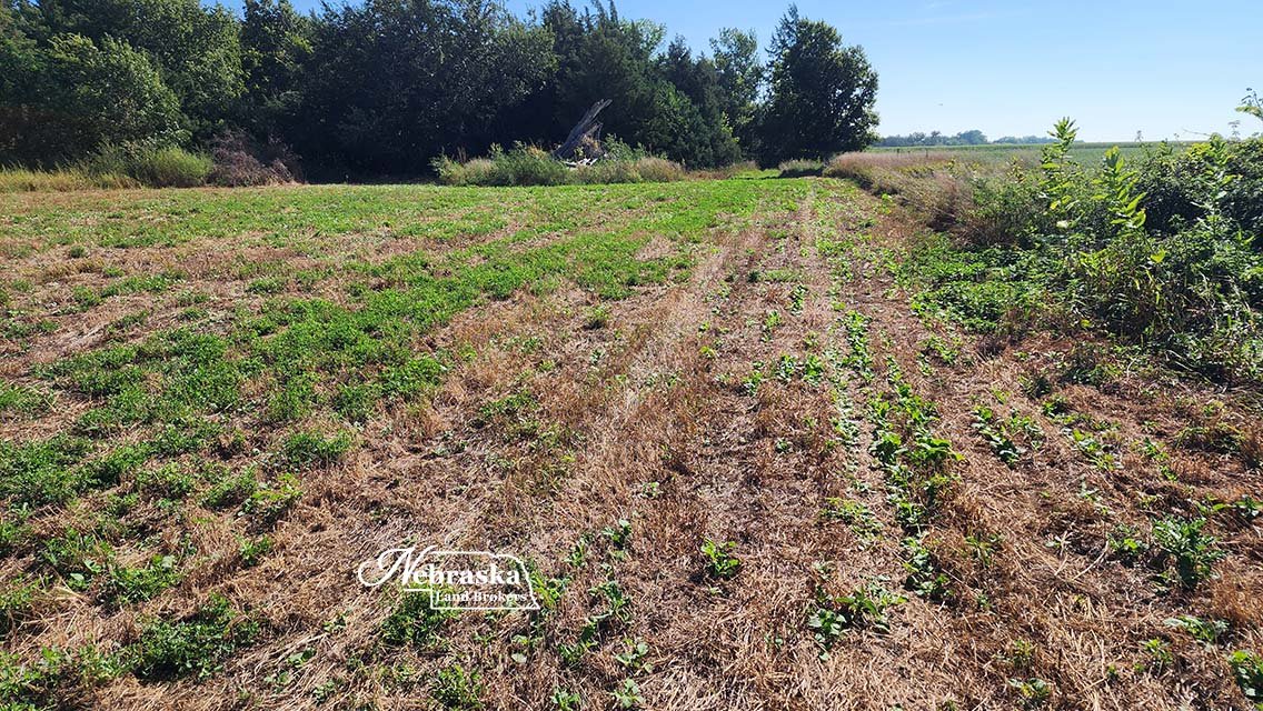
A mix of heavy timber and cleared food plots
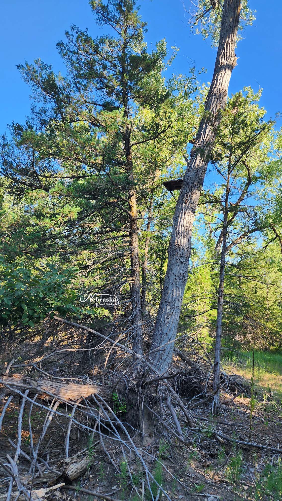
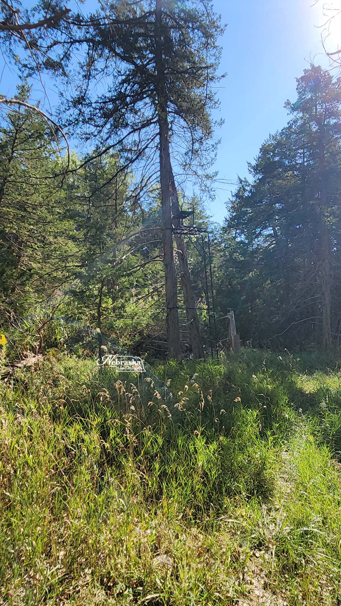
Tree stands and elevated hunting blinds
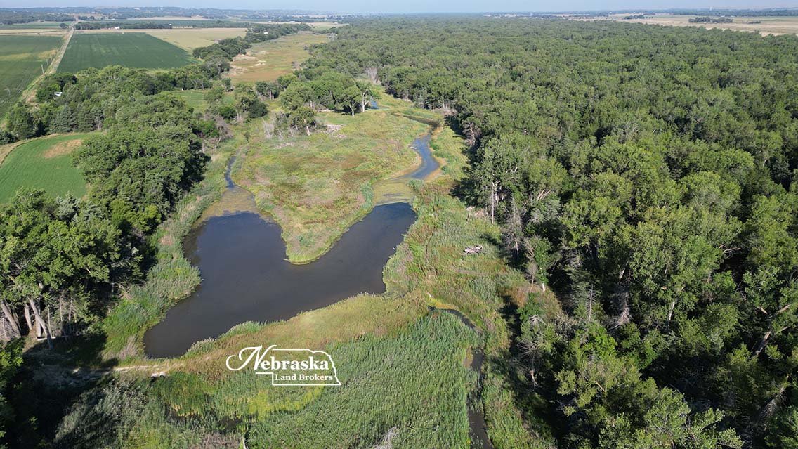
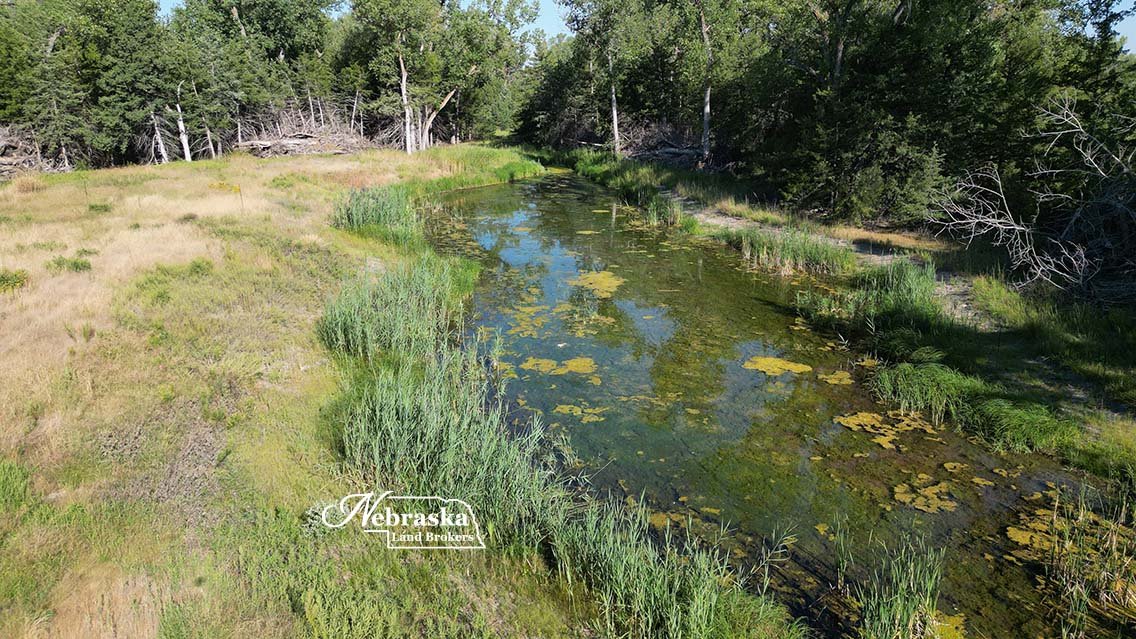
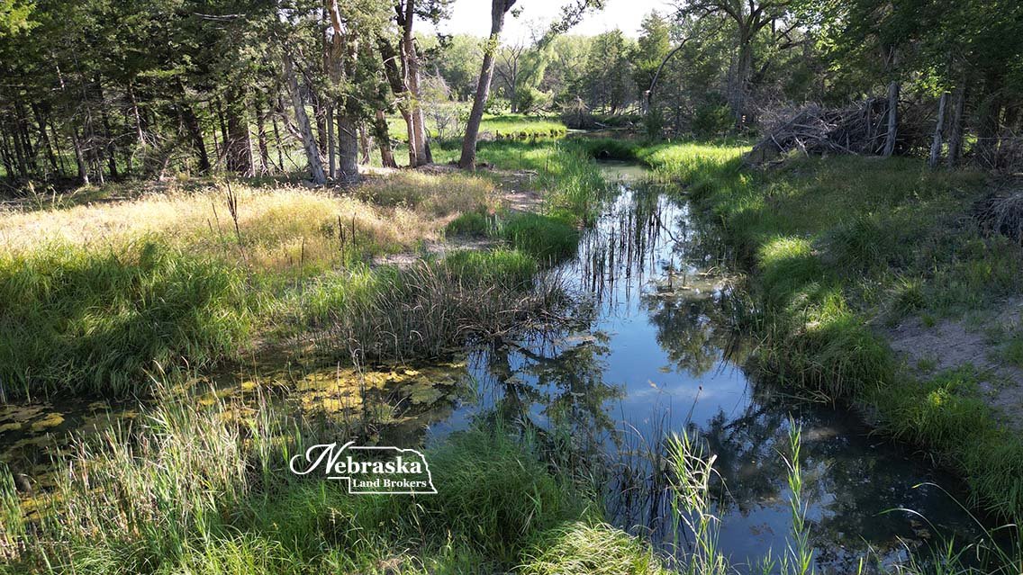
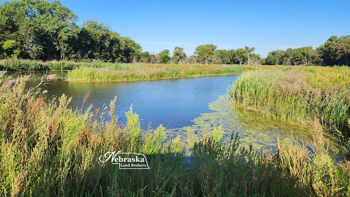
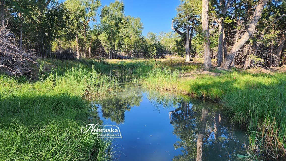
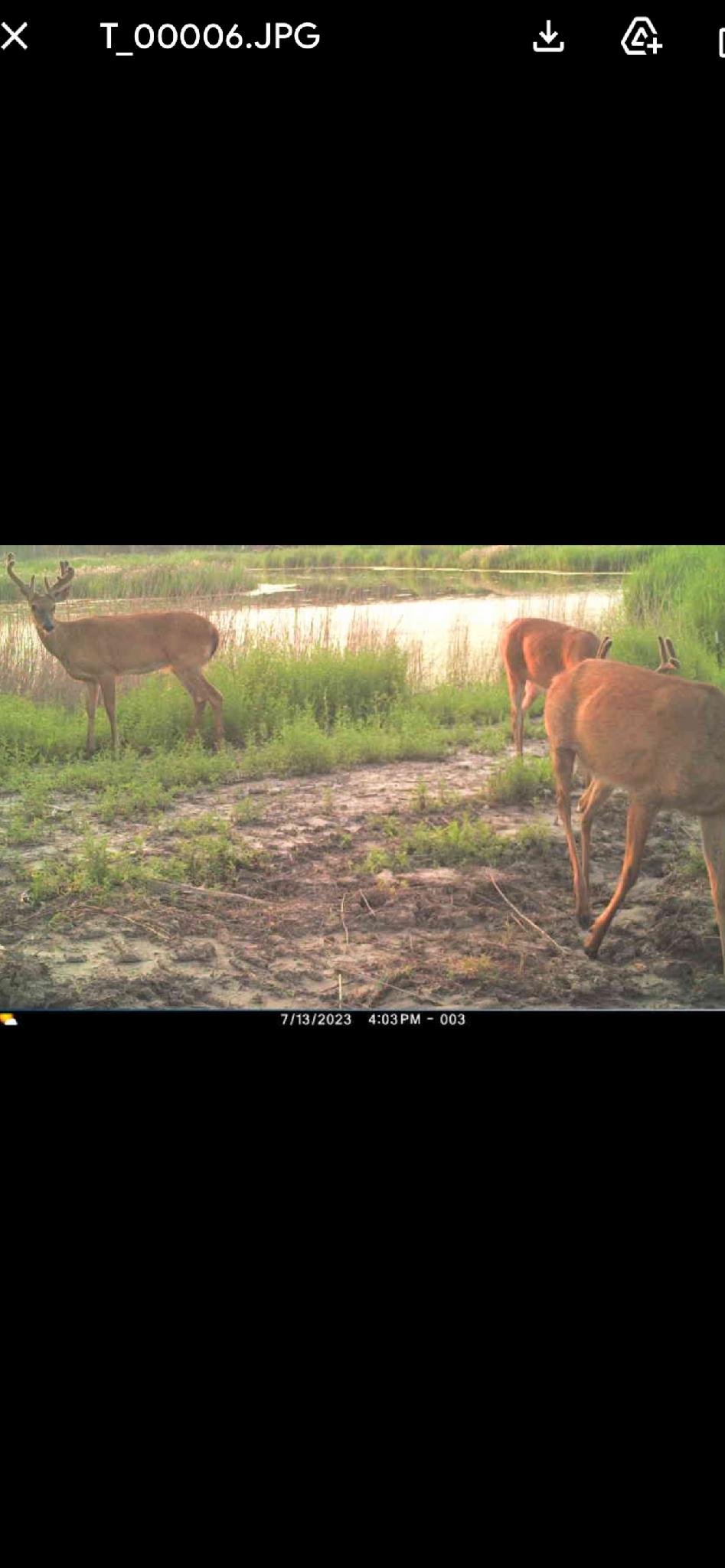
Warm water slough and ponds
97.75 surveyed acres of river accretion land
$430,000.00 SOLD & CLOSED 4.3.24
INTERACTIVE MAP
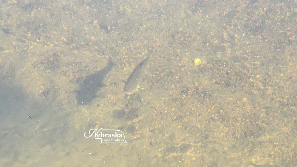
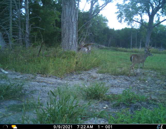
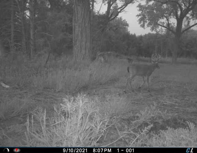
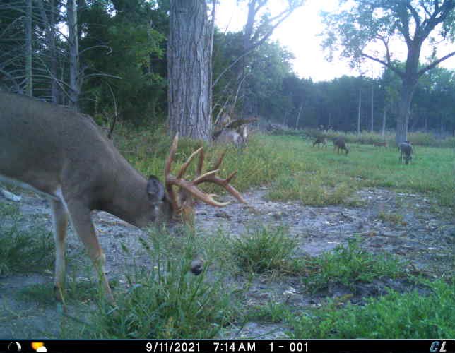
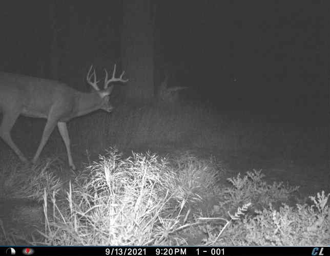
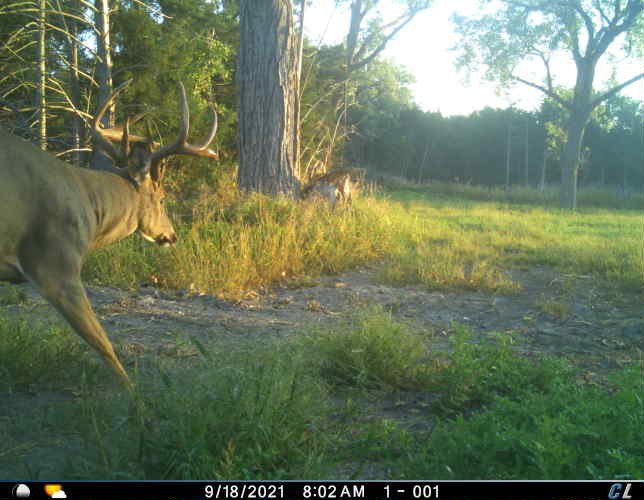
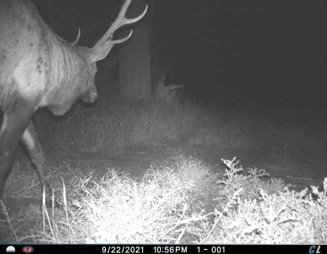
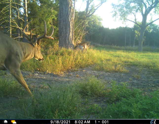
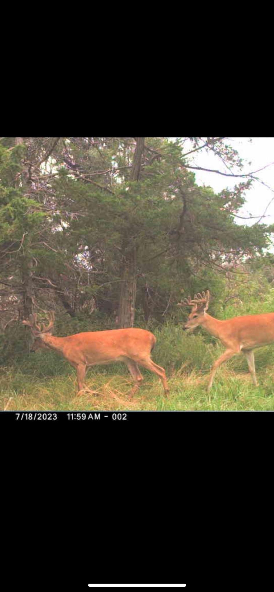
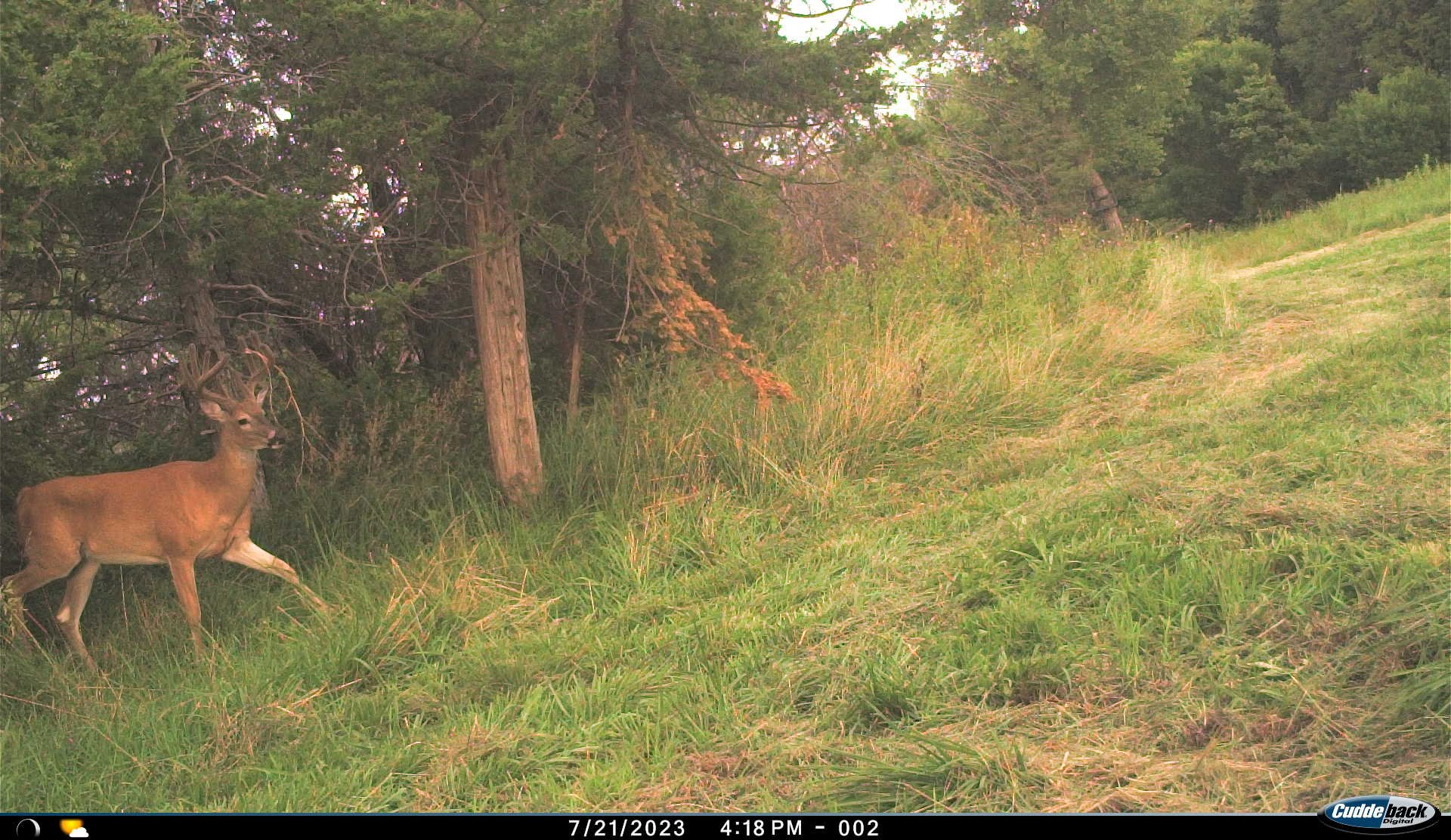
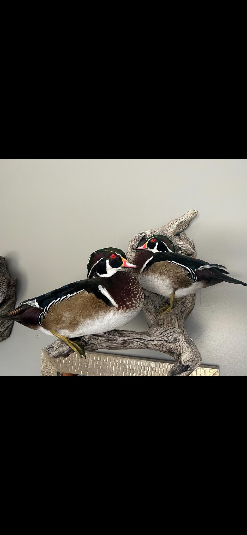
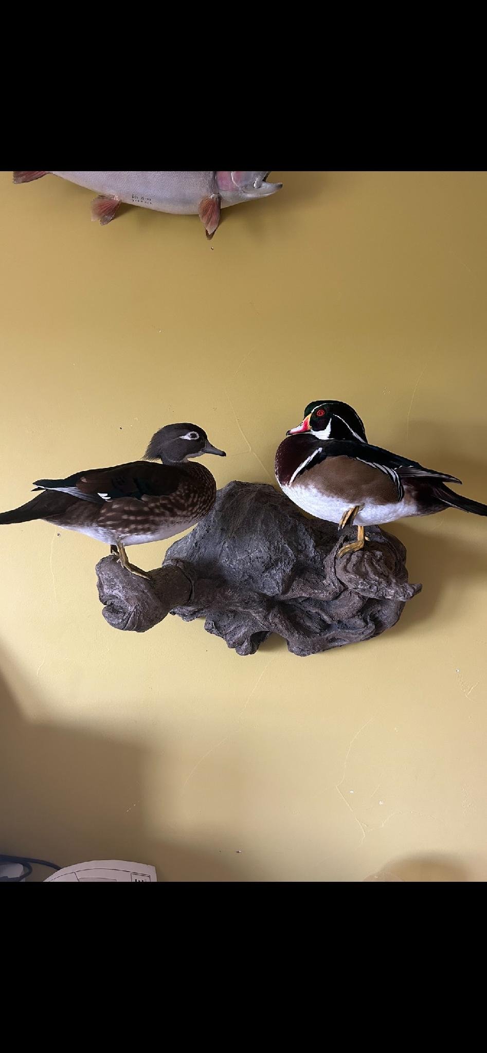
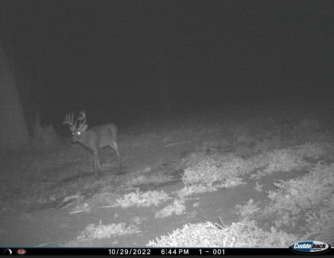
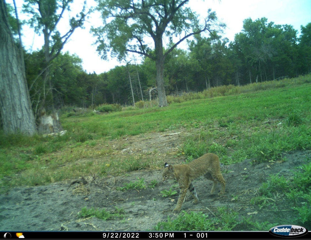
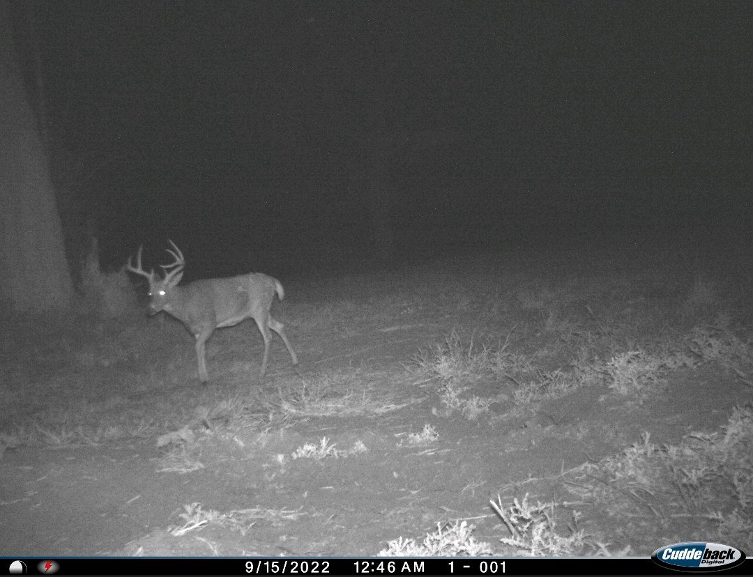
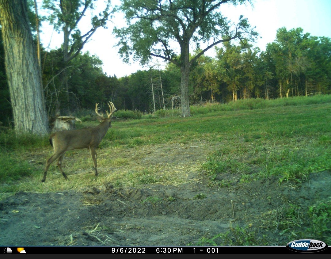
The South Channel of the Platte River is home to whitetail deer, turkey and the occasional elk passing through. The channel is fed by warm water springs and because of this it very rarely runs dry or freezes. This very nice opportunity includes whitetail deer and wild turkey hunting habitat. The warm water slough and ponds in the southern portion offer waterfowl hunting opportunities.
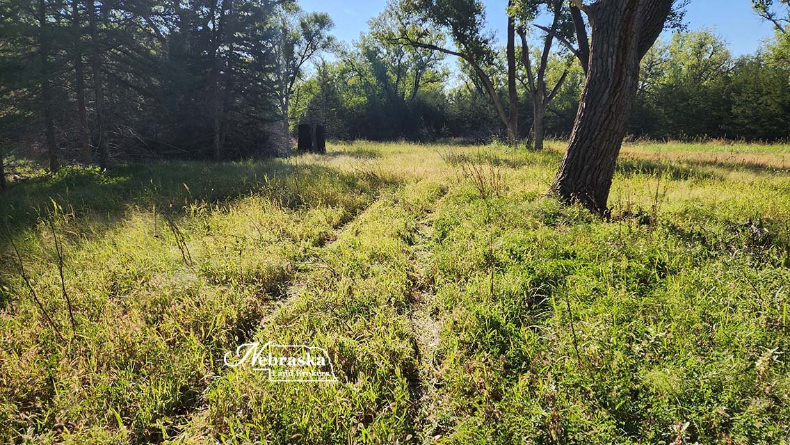
The owner has developed access trails through the timber from the southern side to the river channel. They have also cleared several areas for development of additional food plots and archery hunting opportunities.
The owner has managed the deer hunting during their ownership and this property is where the deer come during rifle season. Many of the deer harvested off of the property have been with archery and black powder in December.
The property is being offered with several hunting tree stands, 2 elevated hunting blinds in the south meadows.
There is rural electric power located about 100 yards from the southwest corner of the property.
Possession and the opportunity to hunt the property during the upcoming hunting seasons is negotiable with an acceptable offer. Take a look at this very nice opportunity.
ACRES: 97.75 surveyed acres.
TAXES: 2022 taxes payable in 2023 are $3,239
LOCATION: From I-80 Exit at Maxwell NE go south on Ft McPherson Road approximately 6 miles to the access two track trail road. Take trail road to east to the property. The Google Maps Pin below is the beginning of the access trail road.
LEGAL DESCRIPTION:
Township 12 North – Range 28 West of the 6th P.M., Lincoln County, Nebraska
Section 13: THAT PT. GOVT' LOT 6 & ACCRETIONS THERETO
Here is property information for your OnXHunt App.
AERIAL PROPERTY & INFORMATIONAL MAPS
Click on an image to view at full size.


