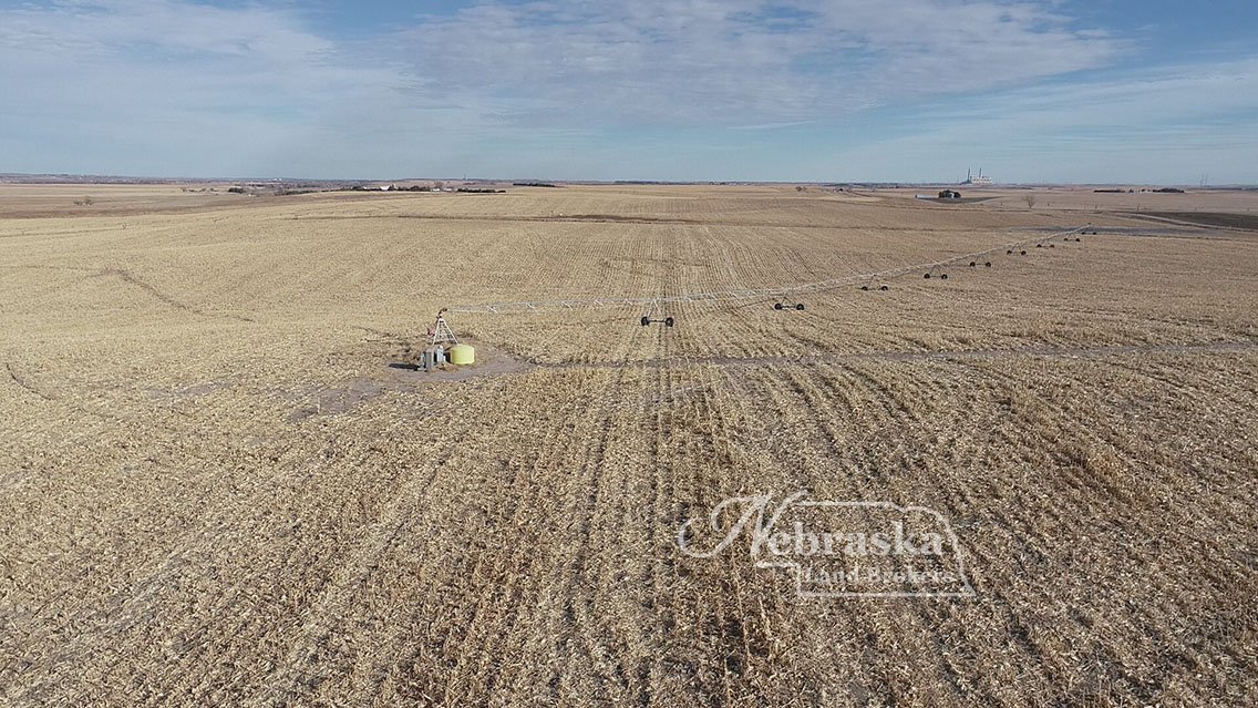
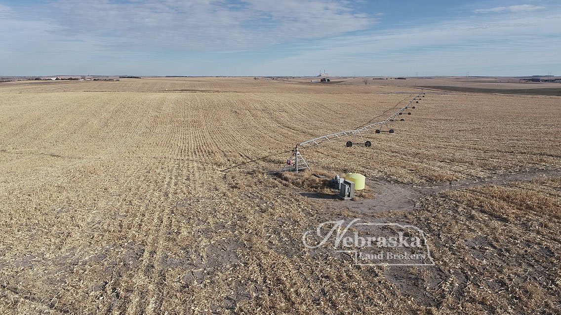
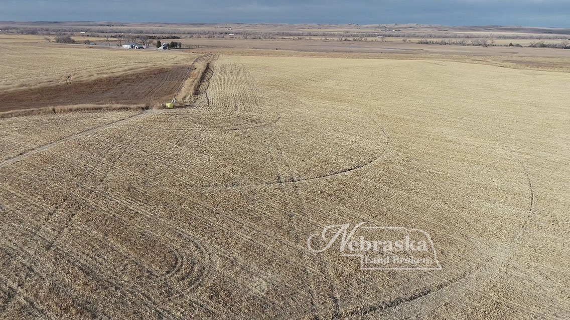
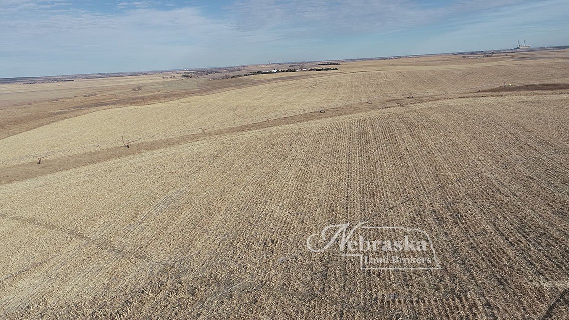
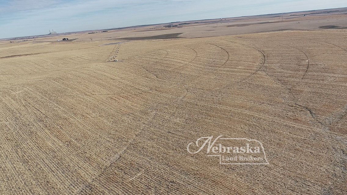
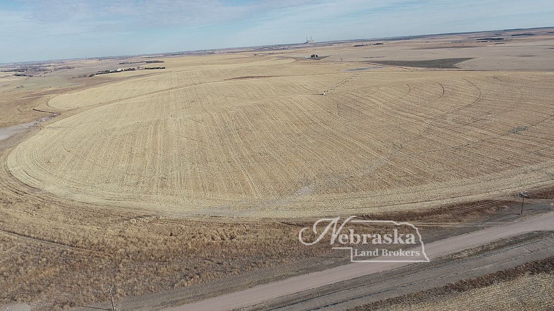
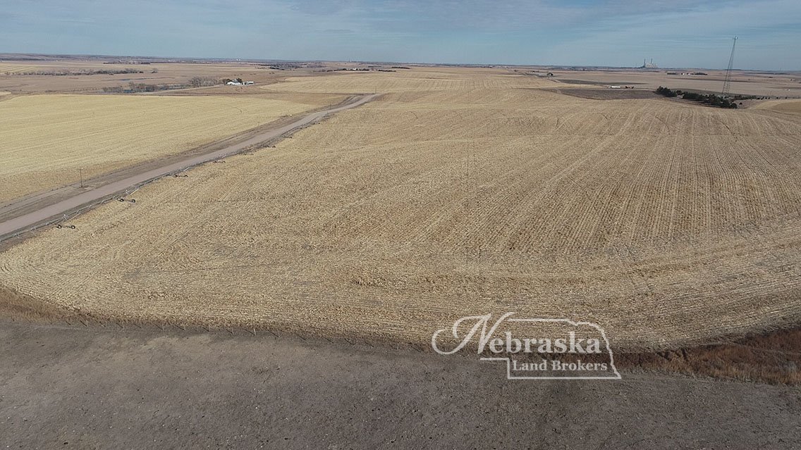
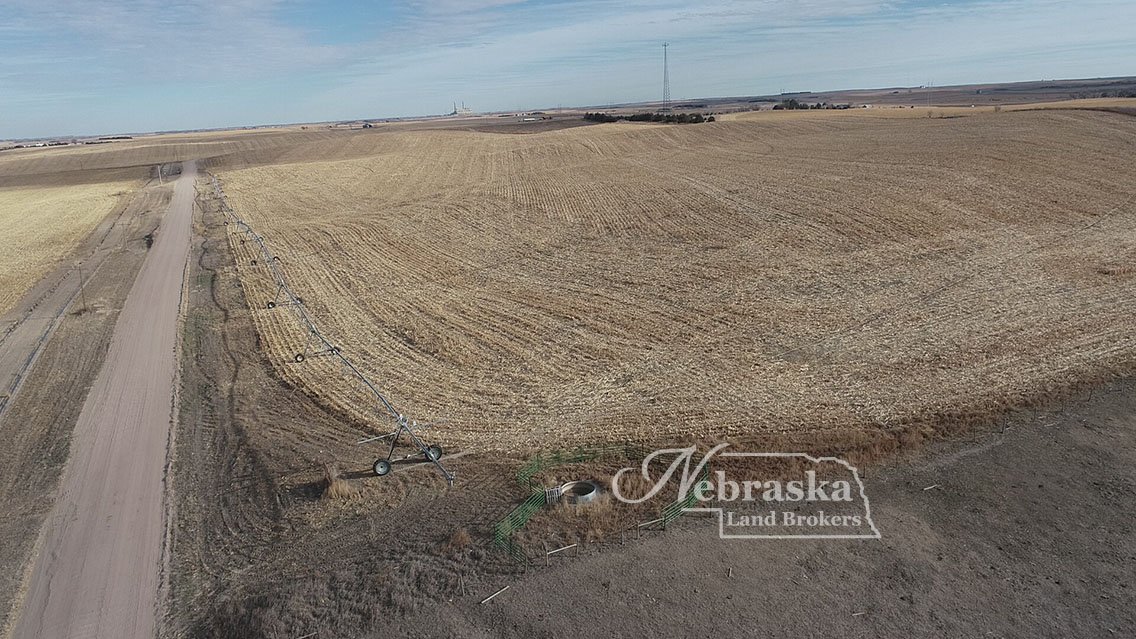
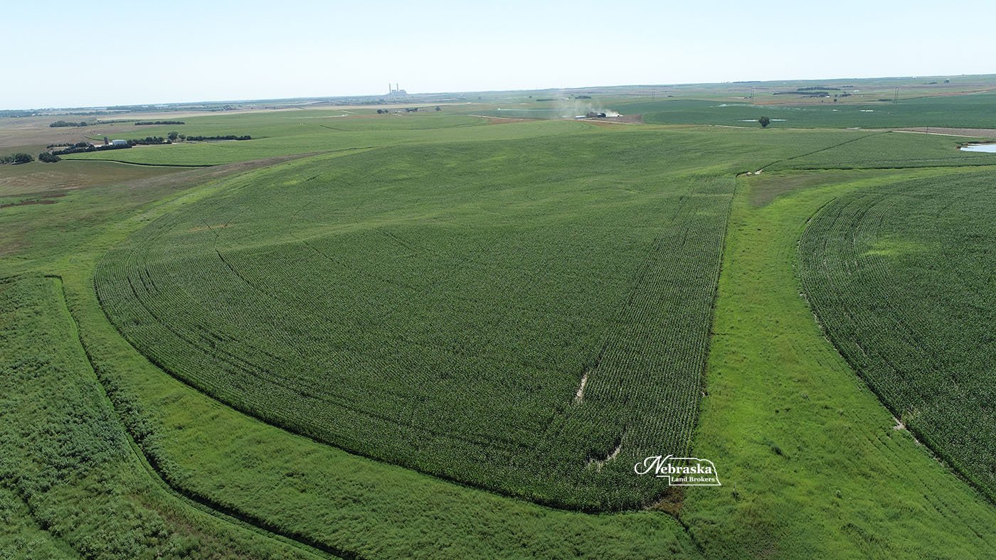
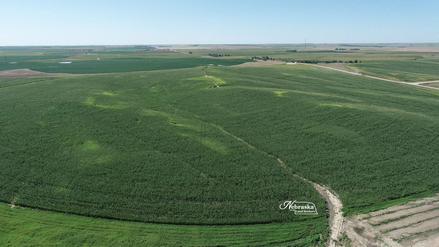
A good irrigated farm opportunity located in western Lincoln County, NE with 271.4 Twin Platte NRD Certified irrigated acres.
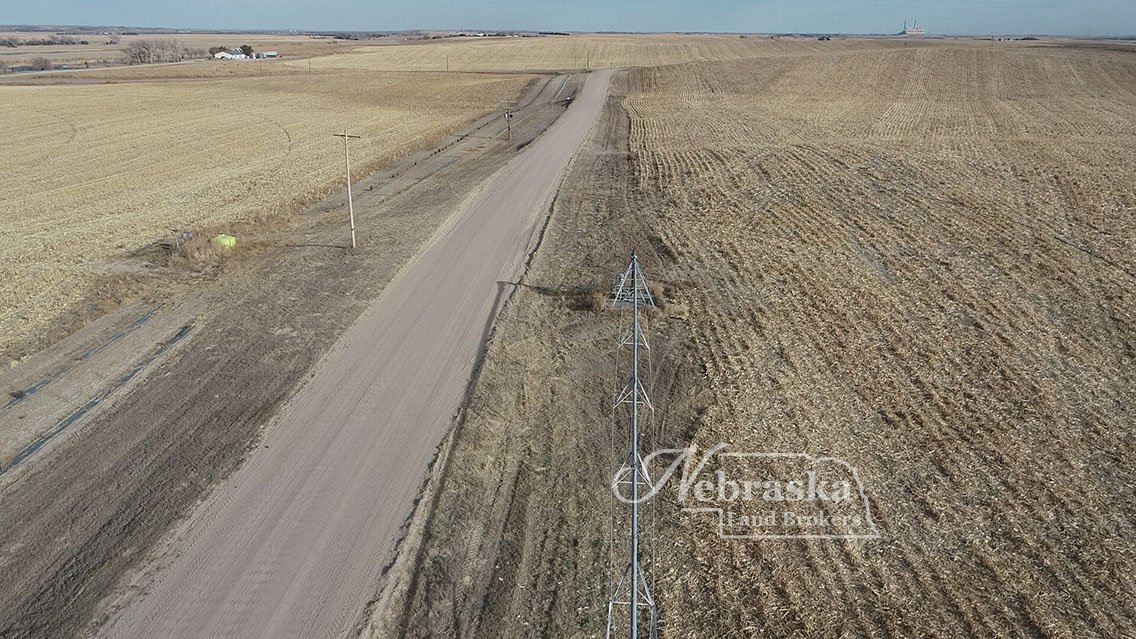
Very good county gravel road access
Strong tenants in area for investor
Multiple commodity marketing opportunities
Electric powered wells with good water availability
Full FSA corn base
271.4 Twin Platte NRD certified irrigated acres
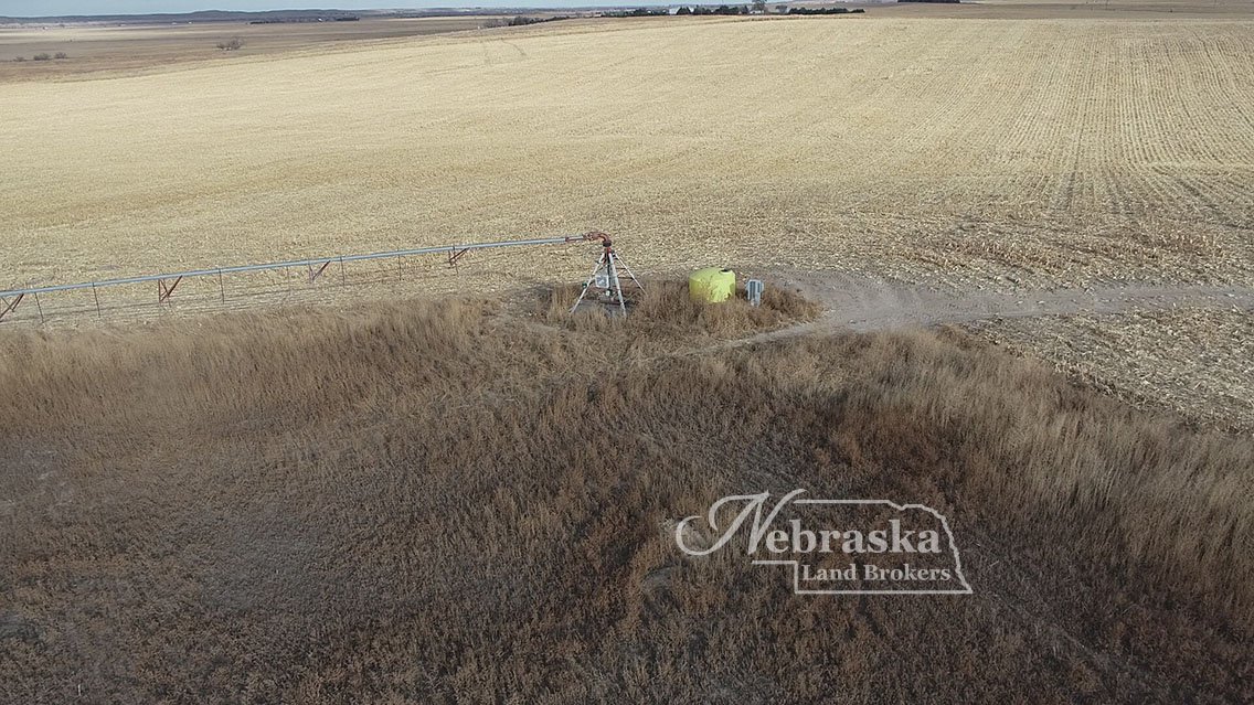
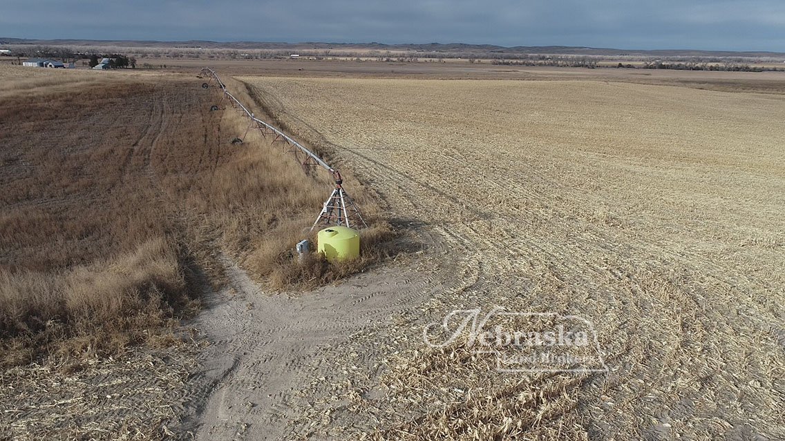
This pivot irrigated farm is located in a very competitive area for cropland acres. The wells on Section 8 are in good condition. Section 7 is being offered with the Seller providing an easement to the well that services the pivot on land the Seller is retaining. The easement shall last for the life of the well. Possession of the farm will be after crop residue grazing is completed in late winter 2023.
11.1 acres of the corners on Section 7 are enrolled into Corners For Wildlife and Buyer shall assume the contract. The farm sold with the Seller reserving hunting rights on all the property for his lifetime.
When you look at this farm you will notice that the tenant is not farming the outer acers of the pivot’s end gun coverage. This arrangement has been made so that the Owner may hunt the upland bird habitat in the fall. This restriction will not be made to the new owner.
Commodity marketing opportunities in the region include 3 different ethanol production plants, cattle feeding capacity of over 200,000 head, multiple grain delivery stations at Paxton, Grainton and Wallace and specialty crop processors.
IRRIGATION WELLS AND EQUIPMENT
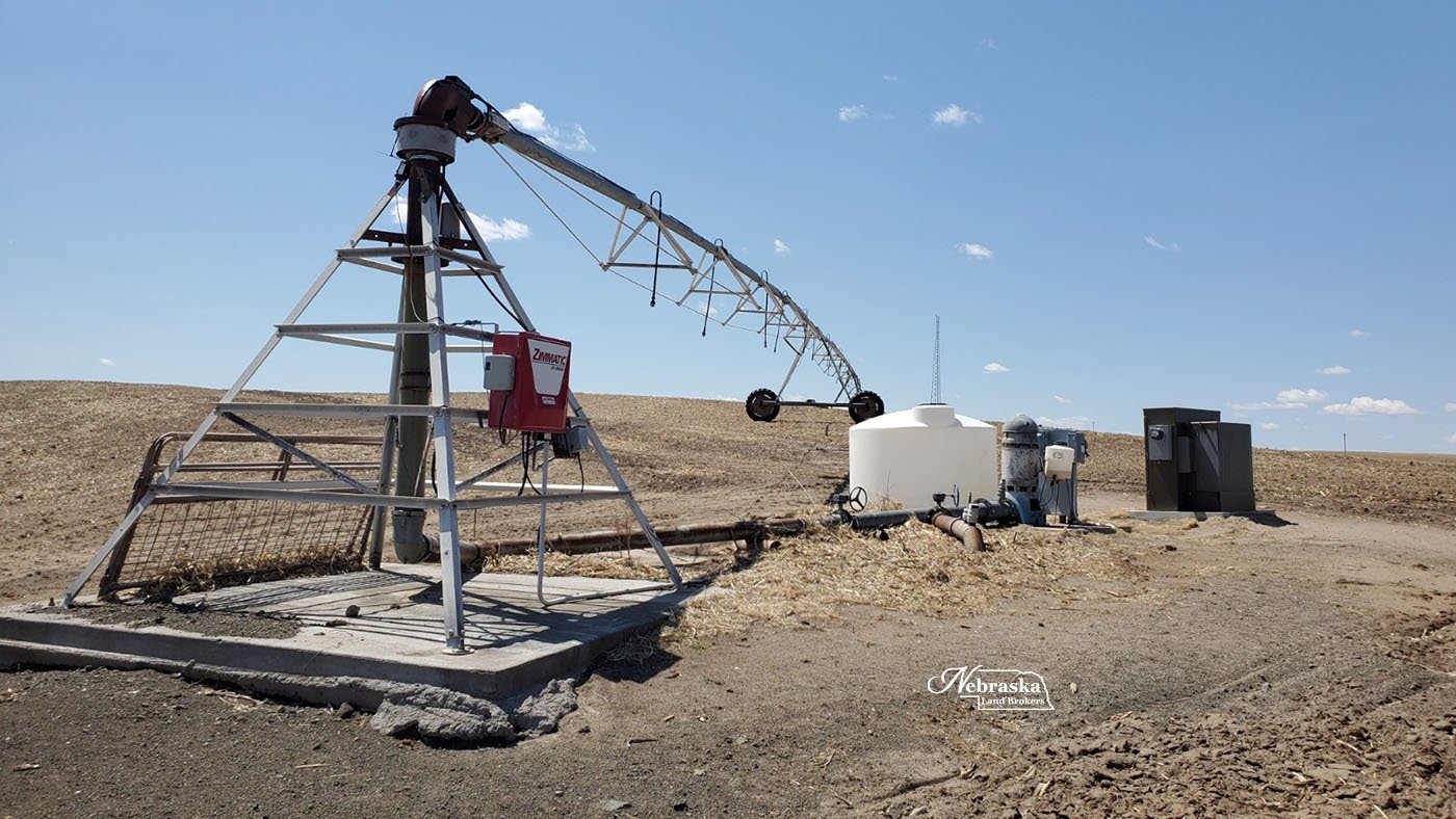
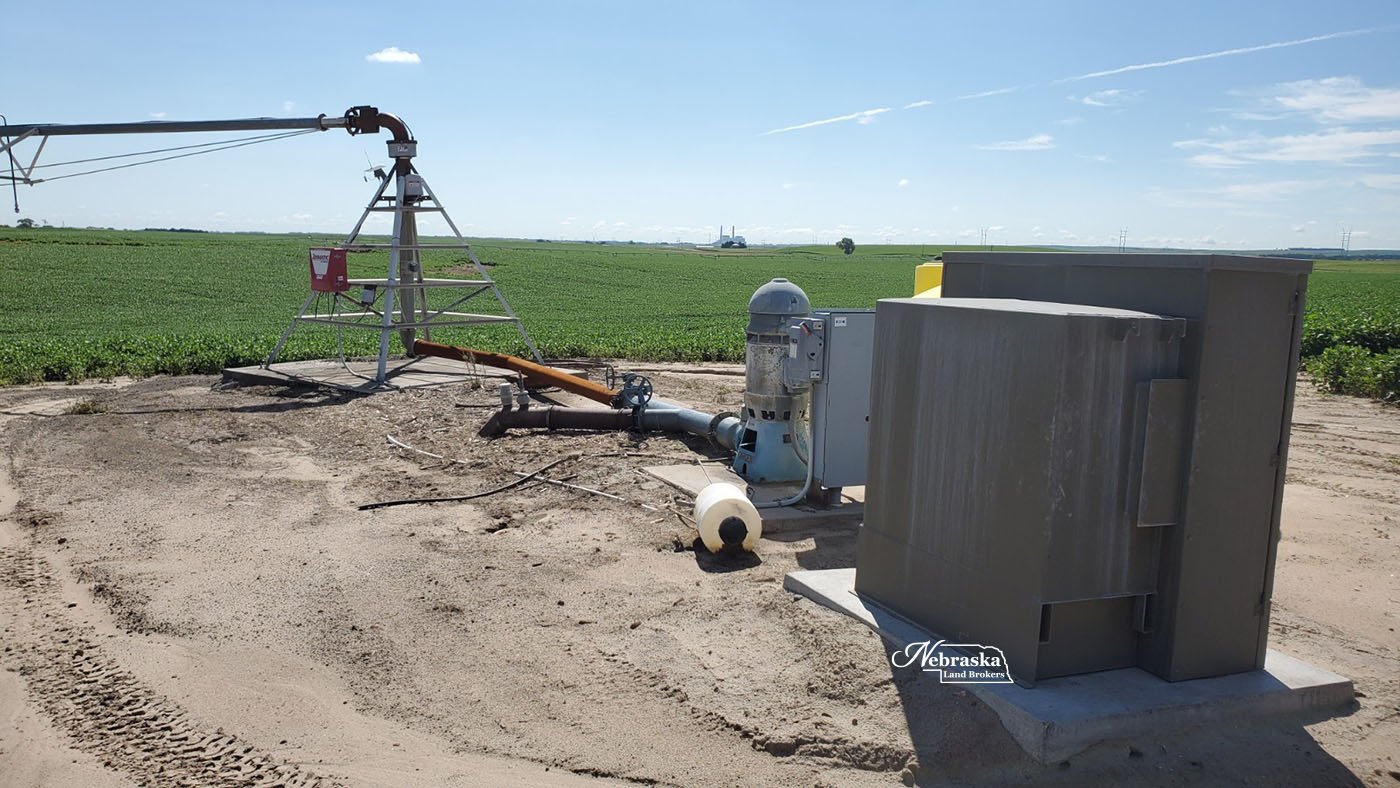
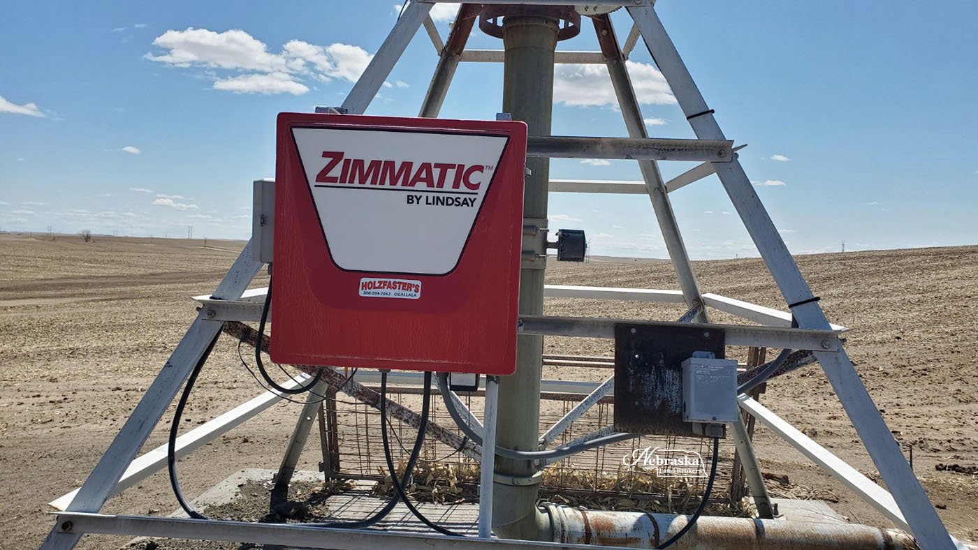
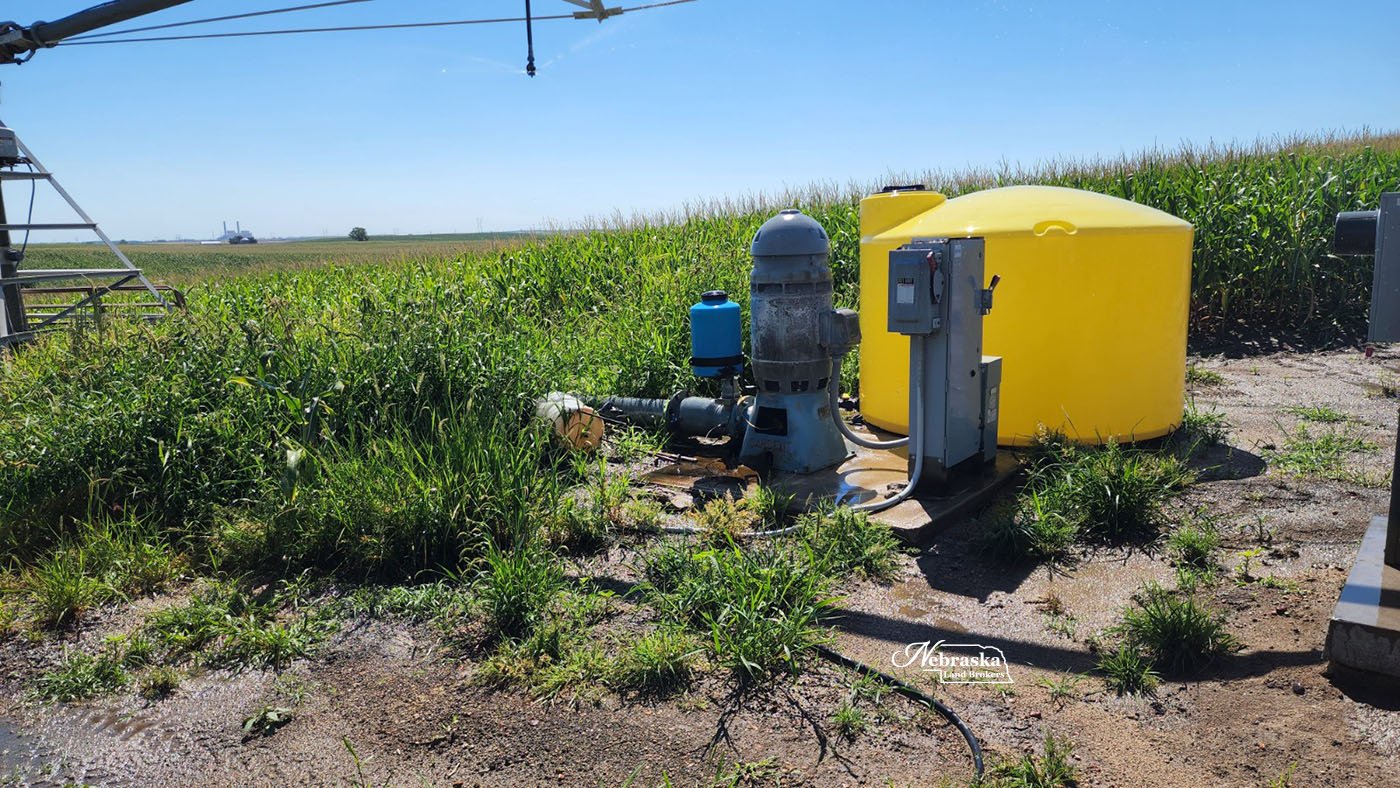
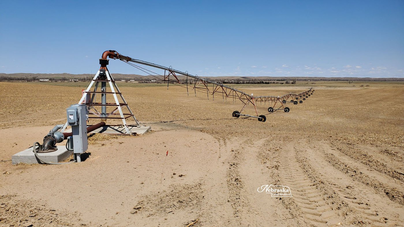
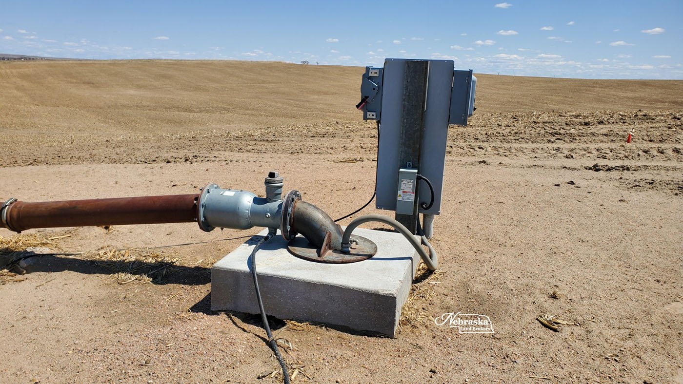
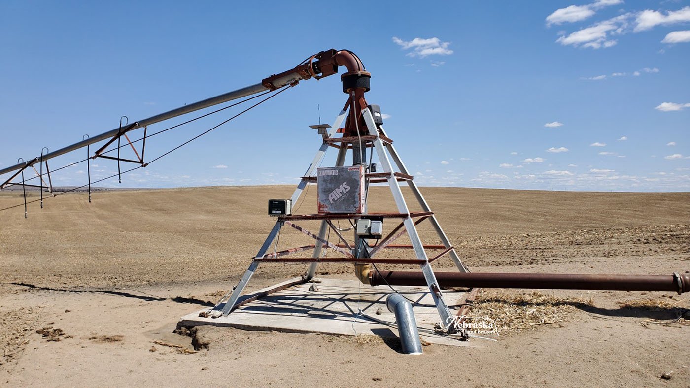
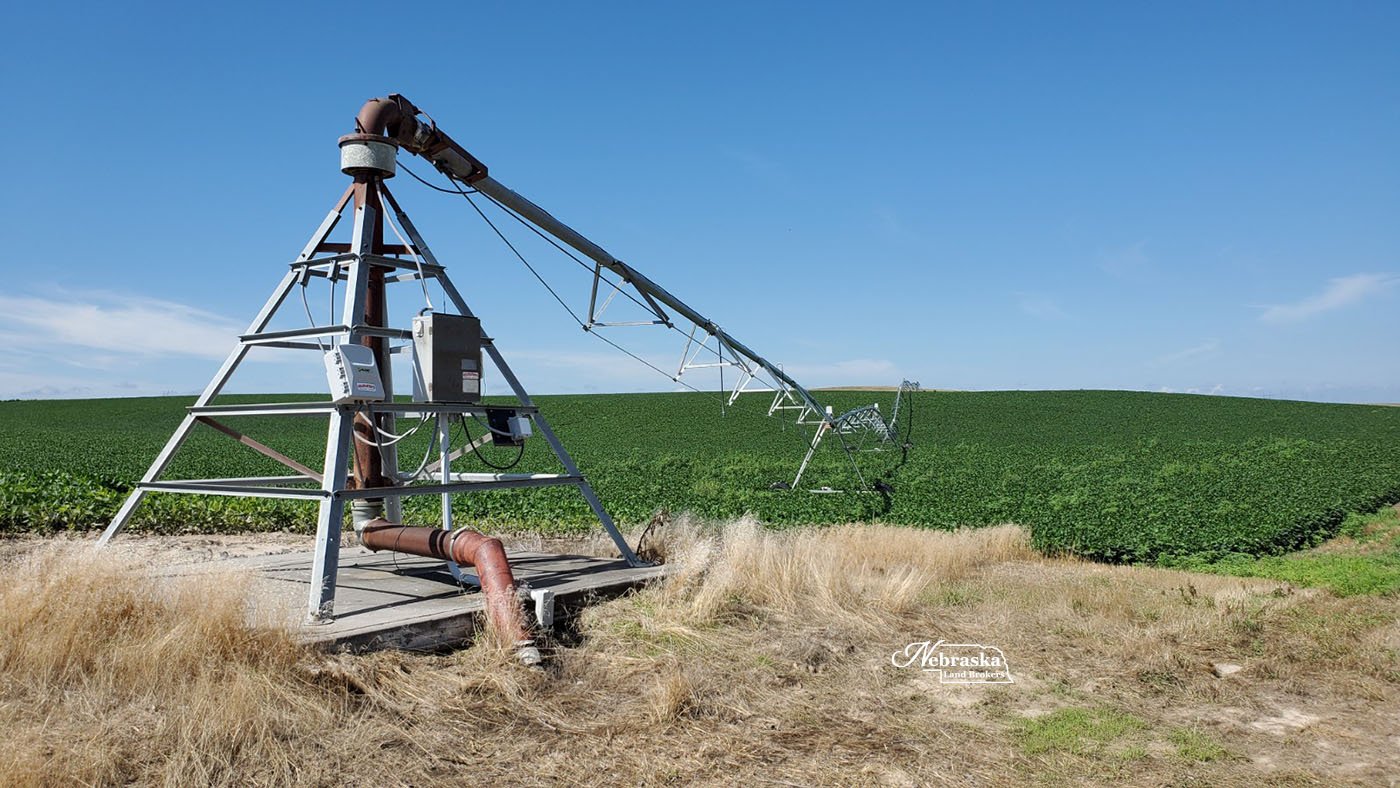
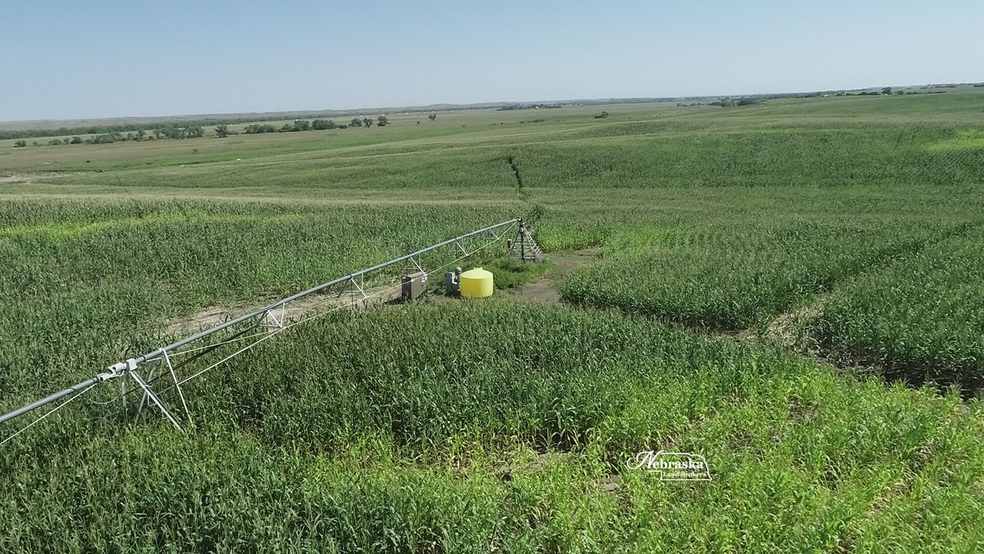
Section 8 east pivot: (10) tower Zimmatic pivot, 60 hp electric submersible irrigation pump, electric control panel, Registered NE Irrigation well G-174296 with 132.6 Twin Platte NRD certified irrigated acres was drilled May 2014 to 270’, static water 49’ pumping level 77’ with pump set at 120’ and rated at 900 gpm at drilling.
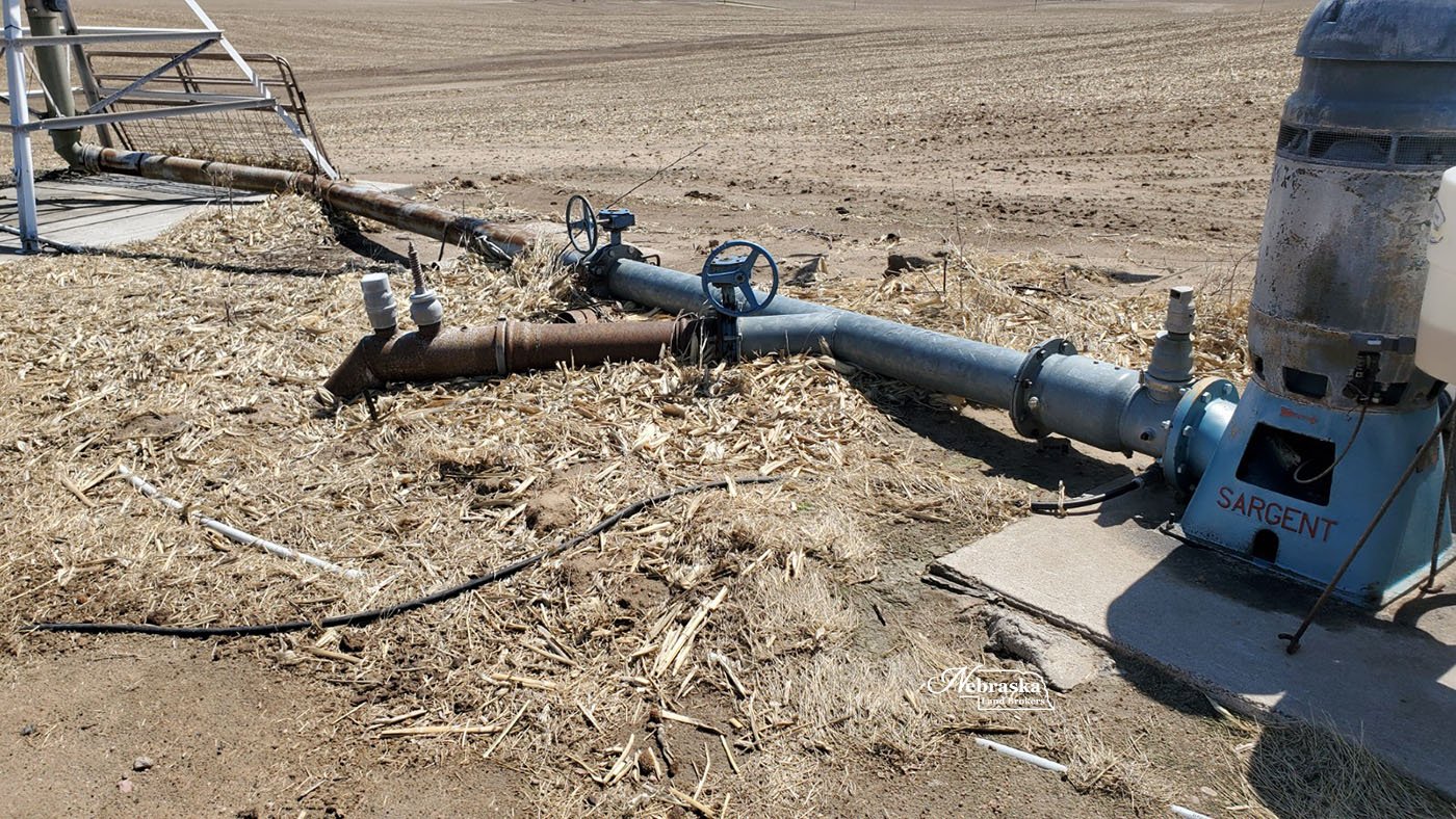
Section 8 west pivot: (9) tower Zimmatic pivot, 75 hp electric irrigation motor, Sargent irrigation pump, electrical control panel, Registered NE Irrigation well G-061566 with 71.75 Twin Platte NRD certified irrigated acres was drilled April 1979 to 260’, static water 62’ pumping level 77’ with pump set at unknown and rated at 850 gpm at drilling.
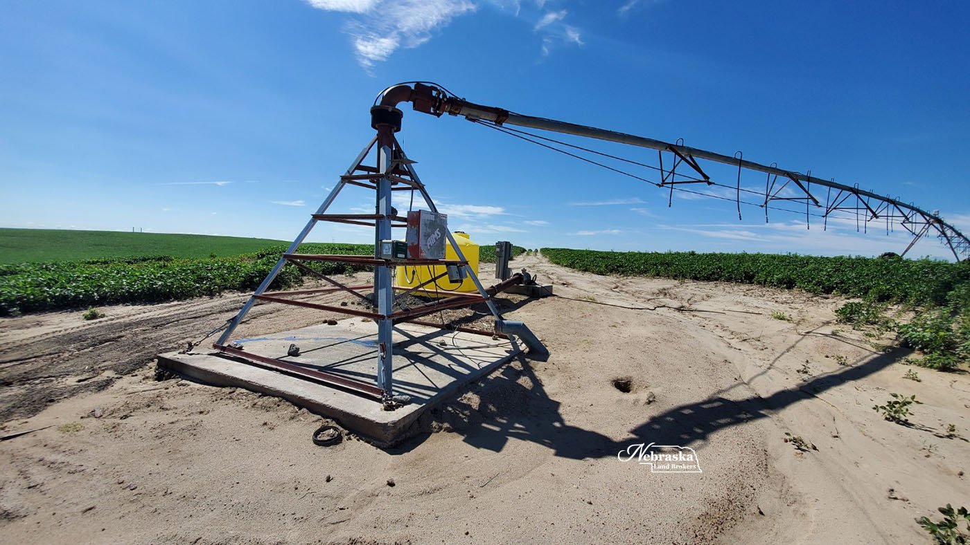
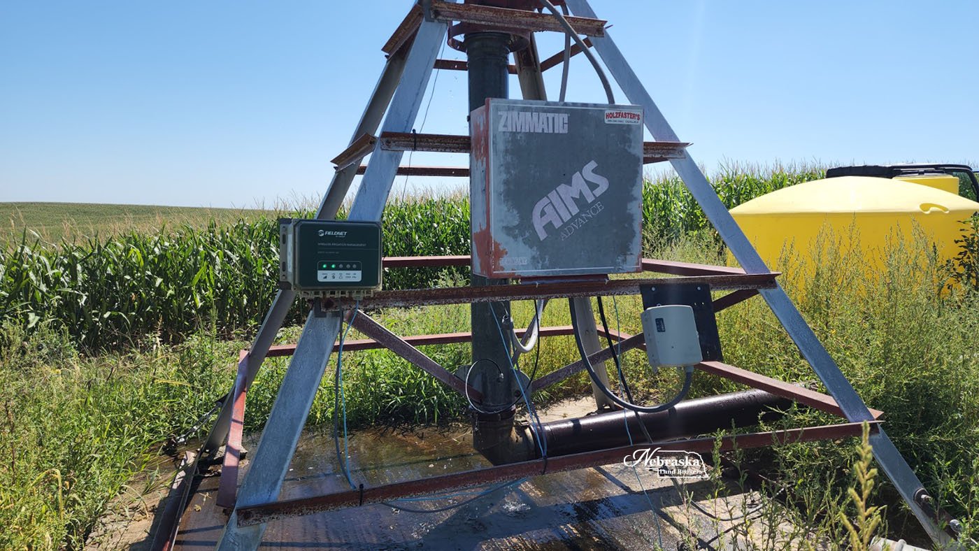
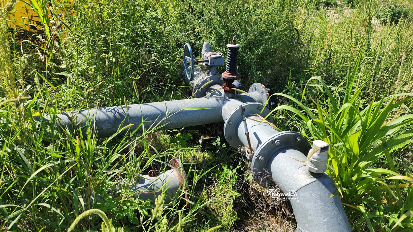
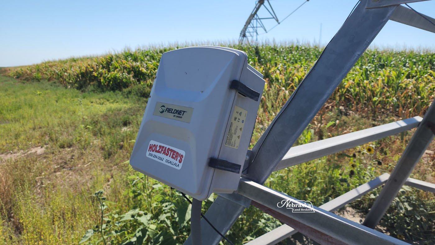
Section 7 pivot: (10) tower Zimmatic center pivot, 60 hp electric submersible pump, electric control panel, underground pipe and wiring, Fieldnet remote system, Registered NE irrigation well G-061192 with 67.05 Twin Platte NRD certified irrigated acres was drilled February1979 to 165’, static water 36’ pumping level 124’ with pump set at unknown and rated at 2056 gpm at drilling.
The farm was sold with the Buyer paying for the installation of the replacement well for this pivot.
Efficiency tests were performed on all three wells in March 2021. Test results are available from Broker.
BROKERS COMMENTS: Here in the fall of 2022 the availability of irrigated farms for sale in the Twin Platte NRD looks to be very limited. This farm has great location for county road access, grain marketing and good water availability. Take a look at this opportunity. The Seller will work with Buyers wanting to complete a 1031 exchange .
More property pictures and maps below.
Call or text Duane McClain, Listing Broker for more information or to schedule a tour of this property at 308.530.0221
PRICE: $1,750,000.00 SOLD & CLOSED 3.3.23
ACRES: 304.15 +/- taxed accessed acres
LOCATION: Farm is located southwest of Sutherland in western Lincoln County, 4.5 miles west of Highway 25 on Walker Road or 5.5 miles east of the Paxton I-80 exit on County Road East 80.
LEGAL DESCRIPTION: Township 13 North – Range 34 West of the 6th P.M., Lincoln County, Nebraska
Section 7: Part S1/2S1/2 lying south of Wier Road
Section 8: Surveyed tract in S1/2 and Part N1/2
FSA BASE INFORMATION: Farm is enrolled in PLC with a full corn base at 141 bushel. Base will be transferred with approval of the FSA County Committee based on acre proration from current farm numbers.
REAL ESTATE TAXES: 2022 taxes payable in 2023 are estimated to be $17,000.00 by the Lincoln County Assessor.
NRD OCCUPATION TAXES: $1,510.22
AERIAL PROPERTY & INFORMATIONAL MAPS
Click on an image to view at full size.


