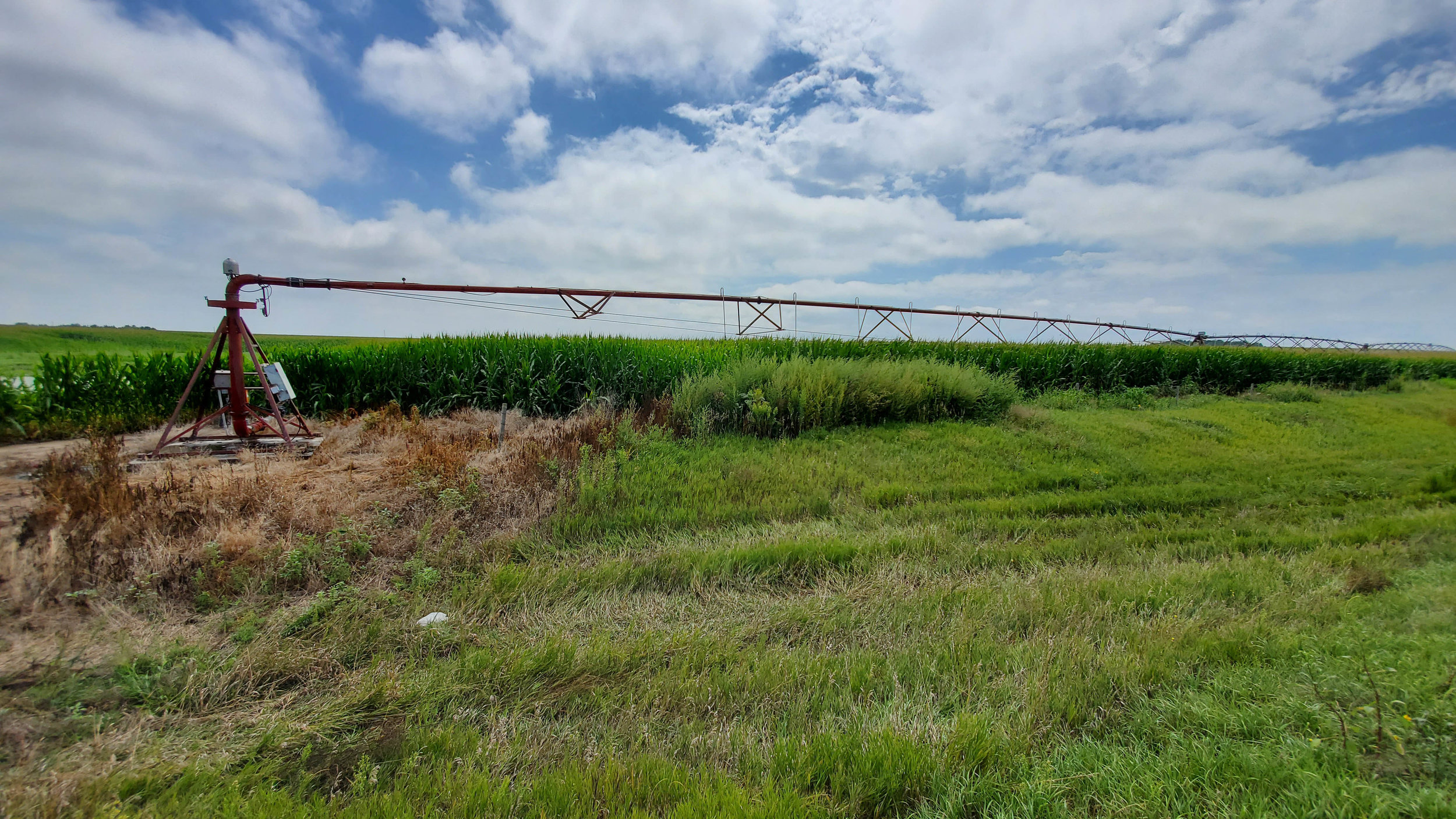
A nice small irrigated farm located just west of Wallace NE on Highway 23. 54 Middle Republican Irrigated acres and about 8 non-irrigated acres.
SOLD & CLOSED 12.30.19 $275,000
This is a nice pivot irrigated farm located on the south side of Highway 23 a mile west of Wallace, NE. There is county road frontage on the west and south boundary lines of the property. The farm is gently slopping from the west to the east. A small lagoon is showing up this very wet year just south of the pivot point.
Irrigation equipment includes an older 8 tower Reinke Electrogator pivot, an 25 hp electric submersible irrigation pump and associated electrical panel.
Irrigation well G-088145 includes 54 Middle Republican NRD certified irrigated acres. This 7” well was drilled in April 1996 to 250’ with a rating of 350 GPM. Static water level at drilling was 75’ and the pump is set at 140’.
The soils of the farm include Class I Hord silt loam (52.3%) and the balance being Class II & III Holdrege silt loam.
PLEASE NOTE: The building site has been surveyed off from the existing tax parcel and will be retained by the Seller. The advertised 62 acres are based on the current tax parcel less the building site survey. In addition the FSA Farm Acres for this property are 67+/- which is more than the taxed acres. The property will be sold based on the Lincoln County Assessor taxed acres.
The complete terms & Conditions of the auction are available below.
LOCATION
1 mile west of Wallace on Highway 23. Farm is on the south side of the Highway. Community Center Road is on the south side.
LEGAL DESCRIPTION: Part SW1/4 lying south of Highway ROW Section 15-Township 10 North - Range 34 West, Lincoln County, Nebraska
PRICE
$275,000 SOLD & CLOSED 12.30.19
ACRES
62+/- approximate taxed accessed acres
TAXES
2018 taxes payable in 2019 are estimated to be $1,878
2019 Middle Republican NRD Occupation Taxes are $540
AERIAL PROPERTY & INFORMATIONAL MAPS
Click on an image to view at full size.


